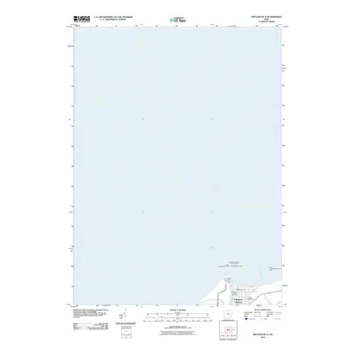
2010 Map of Mentor OE N
USGS Topo · Published 2010About this map
Fairport Harbor sits at the vital junction where the Grand River meets Lake Erie, serving as a specialized maritime gateway along the Ohio shoreline. This mapping focuses heavily on the navigational infrastructure of the harbor entrance, detailing a complex network of safety markers including the Old Lighthouse, the East Pier Light, and several breakwater lights. The landward portion of the map is concentrated on the village's core, identifying essential community nodes such as the Fairport Harbor Post Office and the Lutheran Cemetery. Unlike many topographic sheets that document inland terrain, this survey is dominated by the open waters of the lake, emphasizing the critical role of the port's breakwaters and piers in securing the mouth of the river for commercial or recreational traffic during the early 21st century.
Find a feature on this map
13 named features on this map. Tap any name to fly to it.
Don’t see what you’re looking for? This feature index may not catch every label — zoom into the map to look around manually.
Map Details
Editions of this 2010 Mentor OE N Map
This is the sole edition of this map. No revisions or reprints were ever made.
Other maps of this area

1904 · Chardon
USGS Topo · 1:62,500

1905 · Perry
USGS Topo · 1:62,500

1905 · Mentor
USGS Topo · 1:62,500

1906 · Chardon
USGS Topo · 1:62,500

1907 · Mentor
USGS Topo · 1:62,500

1950 · Cleveland
USGS Topo · 1:250,000

1953 · Mentor
USGS Topo · 1:24,000
1953 · Eastlake
USGS Topo · 1:24,000

1956 · Cleveland
USGS Topo · 1:250,000
1960 · Painesville
USGS Topo · 1:24,000