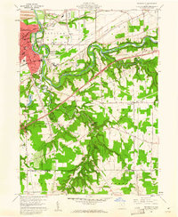
1960 Map of Painesville
USGS Topo · Published 1961About this map
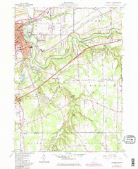
The Grand River snakes through the heart of this Lake County landscape, carving a deep, winding corridor that separates the urban core of Painesville from the increasingly rural townships of Leroy and Concord. By the early 1960s, Painesville displays a dense grid of streets and institutional landmarks like Harvey High Sch, Evergreen Cemetery, and several parochial schools including St Marys Sch. South of the city, the terrain transitions into a patchwork of woodlots and orchards, where local recreation is anchored by the Mountain View Country Club and various youth retreats like Girl Scout Camp and YMCA Camp.
Find a feature on this map
71 named features on this map. Tap any name to fly to it.
Don’t see what you’re looking for? This feature index may not catch every label — zoom into the map to look around manually.
Map Details
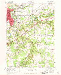
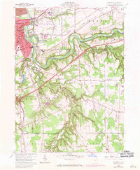
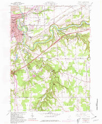
Editions of this 1960 Painesville Map
5 editions found
Other maps of this area

1904 · Chardon
USGS Topo · 1:62,500

1905 · Perry
USGS Topo · 1:62,500

1905 · Mentor
USGS Topo · 1:62,500

1906 · Chardon
USGS Topo · 1:62,500

1907 · Mentor
USGS Topo · 1:62,500

1950 · Cleveland
USGS Topo · 1:250,000

1953 · Chardon
USGS Topo · 1:24,000

1953 · Chesterland
USGS Topo · 1:24,000

1953 · Mentor
USGS Topo · 1:24,000

1956 · Cleveland
USGS Topo · 1:250,000