Loading...
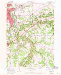
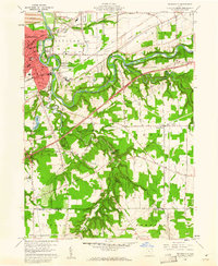
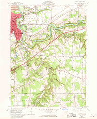
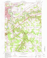
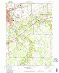
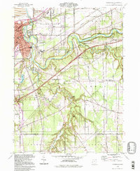
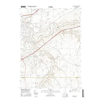
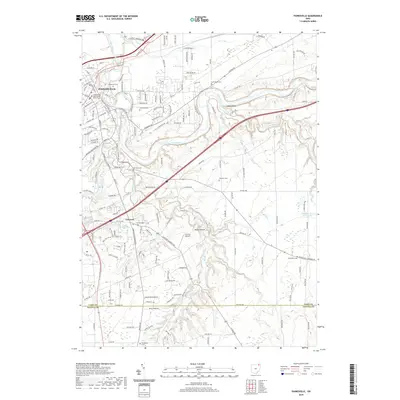
Loading map...1960 Map of Painesville
USGS Topo · Published 1971About this map
The Grand River carves a deep, winding course through the landscape south of Painesville, creating dramatic topography such as Indian Point and Cascade Falls. By the early 1970s, the urban core of Painesville shows significant development, supported by a dense network of transit including the Penn Central, Baltimore and Ohio, and Norfolk and Western railroads.
Find a feature on this map
78 named features on this map. Tap any name to fly to it.
Don’t see what you’re looking for? This feature index may not catch every label — zoom into the map to look around manually.
Map Details
Date Portrayed1960
Date Published1971
PublisherU.S. Geological Survey
Map TypeTopographic
Scale1:24,000
Physical Dimensions22.1 x 26.9 inches
Editions of this 1960 Painesville Map
5 editions found
Historical Maps of Painesville Through Time
7 maps found

Featured Locations
Source Details
SourceU.S. Geological Survey
CopyrightPublic Domain