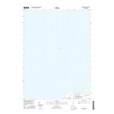
2016 Map of Mentor OE N
USGS Topo · Published 2016About this map
Lake Erie dominates this map, as the vast majority of the quadrangle covers the open water north of the Ohio shoreline. The land area is concentrated along the southern edge, where the Grand River meets the lake at Fairport Harbor. This settlement serves as a primary point of interest, showcasing a dense grid of streets such as Vine St, Eagle St, and High St. The presence of the Lutheran Cem and the local Po indicates an established community footprint at the river's mouth.
Find a feature on this map
17 named features on this map. Tap any name to fly to it.
Don’t see what you’re looking for? This feature index may not catch every label — zoom into the map to look around manually.
Map Details
Editions of this 2016 Mentor OE N Map
This is the sole edition of this map. No revisions or reprints were ever made.
Other maps of this area

1904 · Chardon
USGS Topo · 1:62,500

1905 · Perry
USGS Topo · 1:62,500

1905 · Mentor
USGS Topo · 1:62,500

1906 · Chardon
USGS Topo · 1:62,500

1907 · Mentor
USGS Topo · 1:62,500

1950 · Cleveland
USGS Topo · 1:250,000

1953 · Mentor
USGS Topo · 1:24,000
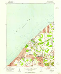
1953 · Eastlake
USGS Topo · 1:24,000

1956 · Cleveland
USGS Topo · 1:250,000
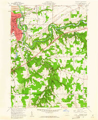
1960 · Painesville
USGS Topo · 1:24,000