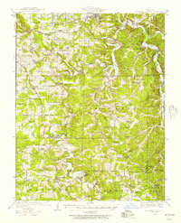
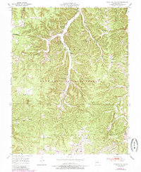
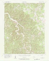
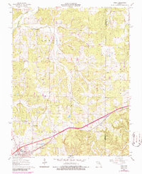
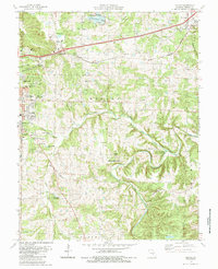
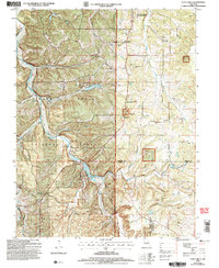
1949 Map of Meramec Spring
USGS Topo · Published 1957This historical map portrays the area of Meramec Spring in 1949, primarily covering Phelps County as well as portions of Dent County and Crawford County. Featuring a scale of 1:62500, this map provides a highly detailed snapshot of the terrain, roads, buildings, counties, and historical landmarks in the Meramec Spring region at the time. Published in 1957, it is one of 2 known editions of this map due to revisions or reprints.
Find a feature on this map
75 named features on this map. Tap any name to fly to it.
Don’t see what you’re looking for? This feature index may not catch every label — zoom into the map to look around manually.
Map Details
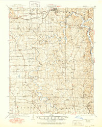
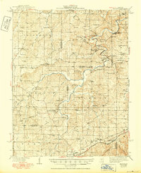
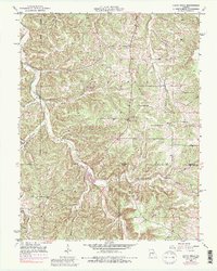
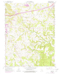
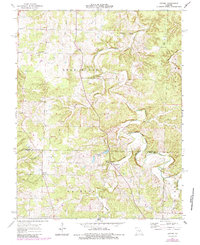
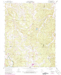
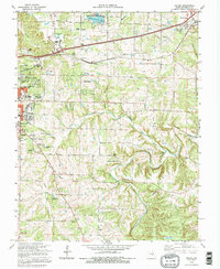
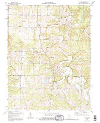
Editions of this 1949 Meramec Spring Map
2 editions found
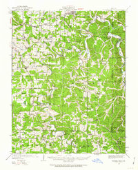
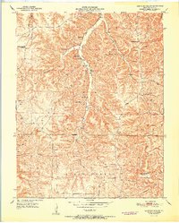
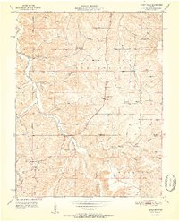
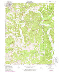
Historical Maps of Rolla Through Time
21 maps found
1928 Meramec Spring
Phelps County, MO

1934 Redbird
Phelps County, MO
1938 Redbird
Phelps County, MO
1949 Meramec Spring
Phelps County, MO
1950 Kaintuck Hollow
Phelps County, MO
1950 Yancy Mills
Phelps County, MO
1951 Kaintuck Hollow
Phelps County, MO
1951 Yancy Mills
Phelps County, MO
1954 Flat
Phelps County, MO
1963 Dillon
Phelps County, MO
1963 Lecoma
Phelps County, MO
1963 Maramec Spring
Phelps County, MO
1963 Rosati
Phelps County, MO
1963 Seaton
Phelps County, MO
1980 Dillon
Phelps County, MO
1980 Maramec Spring
Phelps County, MO
1985 Dillon
Phelps County, MO
1992 Dillon
Phelps County, MO
1992 Lecoma
Phelps County, MO
2004 Kaintuck Hollow
Phelps County, MO
2004 Yancy Mills
Phelps County, MO