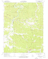
1969 Map of Meramec State Park
USGS Topo · Published 1977About this map
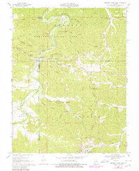
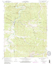
Meramec State Park anchors this landscape, dominated by the winding path of the Meramec River and the rugged topography of Pea Ridge. Industrial history is prominent here, notably the large footprint of the Pea Ridge Mine in the southeast, complete with a tailings pond and specialized rail spurs. Traces of earlier industry remain at the Old Hamilton Iron Works, situated near Hamilton Cave and Hamilton Spring.
Find a feature on this map
56 named features on this map. Tap any name to fly to it.
Don’t see what you’re looking for? This feature index may not catch every label — zoom into the map to look around manually.
Map Details
Editions of this 1969 Meramec State Park Map
6 editions found
Other maps of this area

1901 · De Soto
USGS Topo · 1:125,000

1903 · Sullivan
USGS Topo · 1:125,000

1934 · Meramec State Park
USGS Topo · 1:24,000

1937 · Meramec State Park
USGS Topo · 1:24,000

1946 · Richwoods
USGS Topo · 1:62,500

1946 · Union
USGS Topo · 1:62,500

1947 · Sullivan
USGS Topo · 1:62,500

1947 · St. Clair
USGS Topo · 1:62,500

1948 · Richwoods
USGS Topo · 1:62,500

1948 · Union
USGS Topo · 1:62,500