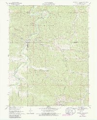
1969 Map of Meramec State Park
USGS Topo · Published 1986About this map
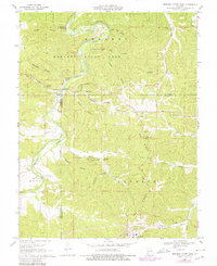
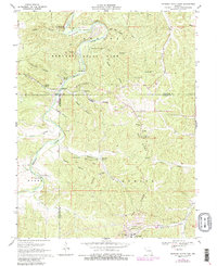
Meramec State Park and the winding course of the Meramec River dominate this landscape during the late 1960s. The map captures a region defined by its cavernous geology and industrial history, from the subterranean depths of Meramec Caverns and Fisher Cave to the prominent iron-working heritage at the Old Hamilton Iron Works. The terrain is deeply incised by numerous hollows, including Campbell Hollow, Murphy Hollow, and Sleepy Hollow, reflecting a complex topography that concentrated settlement and transport along the riverbanks and ridges.
Find a feature on this map
54 named features on this map. Tap any name to fly to it.
Don’t see what you’re looking for? This feature index may not catch every label — zoom into the map to look around manually.
Map Details
Editions of this 1969 Meramec State Park Map
6 editions found
Other maps of this area

1901 · De Soto
USGS Topo · 1:125,000

1903 · Sullivan
USGS Topo · 1:125,000

1934 · Meramec State Park
USGS Topo · 1:24,000

1937 · Meramec State Park
USGS Topo · 1:24,000

1946 · Richwoods
USGS Topo · 1:62,500

1946 · Union
USGS Topo · 1:62,500

1947 · Sullivan
USGS Topo · 1:62,500

1947 · St. Clair
USGS Topo · 1:62,500

1948 · Richwoods
USGS Topo · 1:62,500

1948 · Union
USGS Topo · 1:62,500