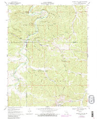
1969 Map of Meramec State Park
USGS Topo · Published 1987About this map
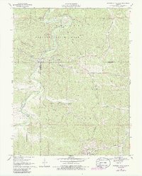
Meramec State Park serves as the focal point for this late 1960s survey, illustrating a landscape where natural wonders and early industry intersect. The winding Meramec River is flanked by karst features like Meramec Caverns, Fisher Cave, and Greens Cave, while the presence of the Old Hamilton Iron Works and several mines points to the area's geological and industrial heritage. The topography is defined by a dense network of hollows, such as Murphy Hollow and Copper Hollow, which converge toward the river valley. Local community life is documented through scattered landmarks like Caseyville, Pea Ridge Sch, and the Pentecostal Ch. Infrastructure of the era, including the Sappington Bridge and a dedicated Landing Strip, shows the development of this recreation-heavy region within Franklin, Crawford, and Washington counties.
Find a feature on this map
54 named features on this map. Tap any name to fly to it.
Don’t see what you’re looking for? This feature index may not catch every label — zoom into the map to look around manually.
Map Details
Editions of this 1969 Meramec State Park Map
6 editions found
Other maps of this area

1901 · De Soto
USGS Topo · 1:125,000

1903 · Sullivan
USGS Topo · 1:125,000

1934 · Meramec State Park
USGS Topo · 1:24,000

1937 · Meramec State Park
USGS Topo · 1:24,000

1946 · Richwoods
USGS Topo · 1:62,500

1946 · Union
USGS Topo · 1:62,500

1947 · Sullivan
USGS Topo · 1:62,500

1947 · St. Clair
USGS Topo · 1:62,500

1948 · Richwoods
USGS Topo · 1:62,500

1948 · Union
USGS Topo · 1:62,500