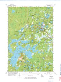
1955 Map of Mercer
USGS Topo · Published 1966About this map
Mercer serves as the central hub of this 1955 survey, situated where the Chicago and Northwestern railroad meets a landscape defined by an immense concentration of glacial lakes. The town center is marked by several key community landmarks, including the Mercer Ch, Mercer Cem, and a dedicated Town Hall. To the south and east, the Northern Highland State Forest protects a vast expanse of water bodies and timberland, reflecting the importance of both recreation and the logging industry to Iron County.
Find a feature on this map
142 named features on this map. Tap any name to fly to it.
Don’t see what you’re looking for? This feature index may not catch every label — zoom into the map to look around manually.
Map Details
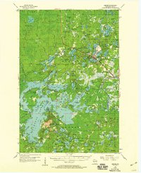
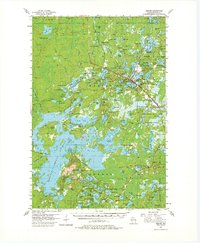
Editions of this 1955 Mercer Map
4 editions found

Other maps of this area

1938 · Lac Du Flambeau
USGS Topo · 1:48,000

1939 · Lac Du Flambeau
USGS Topo · 1:48,000

1939 · Winchester
USGS Topo · 1:48,000

1940 · Mercer
USGS Topo · 1:48,000

1940 · Butternut
USGS Topo · 1:48,000

1940 · Upson
USGS Topo · 1:48,000

1941 · Park Falls
USGS Topo · 1:48,000

1941 · Pike Lake
USGS Topo · 1:48,000

1942 · Pike Lake
USGS Topo · 1:48,000

1943 · Upson
USGS Topo · 1:48,000