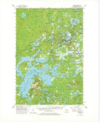
1955 Map of Mercer
USGS Topo · Published 1980About this map
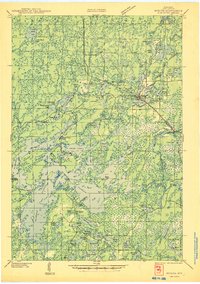
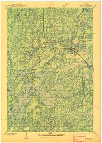
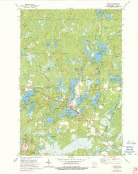
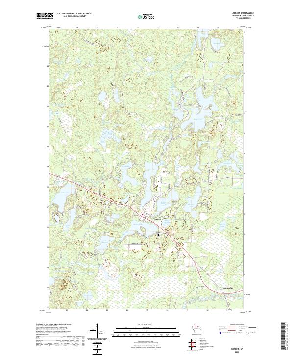
Mercer serves as the primary hub in this lake-rich region of Iron County, situated along the Chicago and North Western rail line. The landscape is defined by an intricate network of water bodies, including Moose Lake and Lac de Beaumont, which supported the early 20th-century timber and nascent tourism industries. In the southern portion of the quadrangle, the small settlement of Springstead is centered around the Springstead Sch and a namesake Springstead Lookout Tower, used for fire detection within the surrounding timberlands. Portions of the Northern Highland State Forest cover the eastern sections, while landmarks like Bonies Mound and Murrays Landing indicate specific points of elevation and river access. Local civic life is anchored by the Town Hall and the Mercer Cem, providing valuable touchstones for those researching the genealogy of Northwoods families.
Find a feature on this map
130 named features on this map. Tap any name to fly to it.
Don’t see what you’re looking for? This feature index may not catch every label — zoom into the map to look around manually.
Map Details
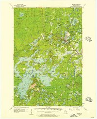
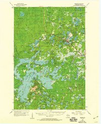
Editions of this 1955 Mercer Map
4 editions found
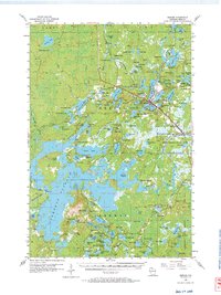
Historical Maps of Mercer Through Time
6 maps found