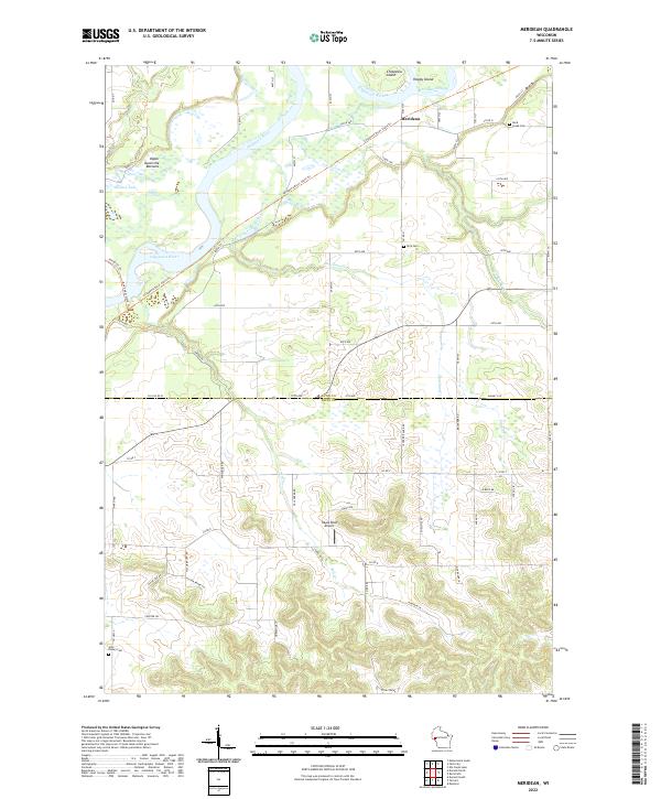
2022 Map of Meridean
USGS Topo · Published 2022About this map
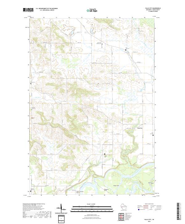
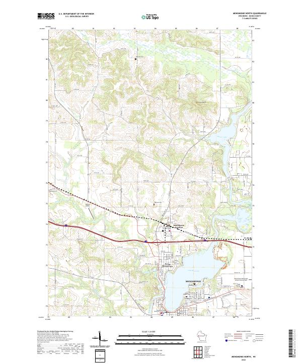
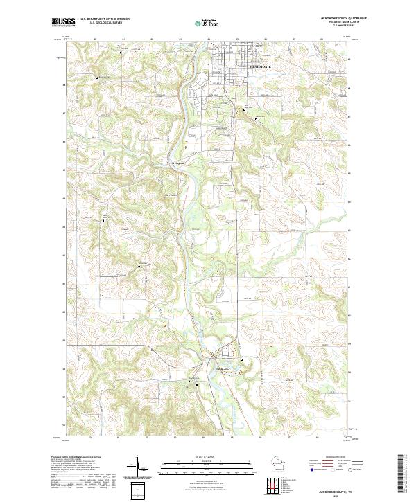
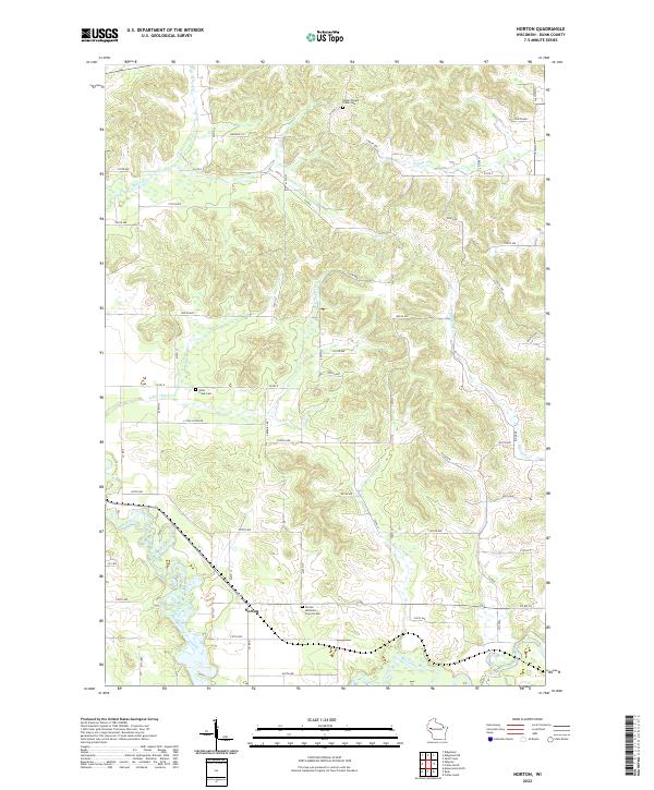
The Chippewa River carves a winding path through this western Wisconsin landscape, defining the transition between the agricultural uplands and the river's complex floodplain. Along the northern bends, the settlement of Meridean sits near Meridean Slough and Happy Island, illustrating the historical importance of the river corridor for commerce and travel. The presence of the Chippewa River State Trl and Red Cedar State Trl highlights the modern repurposing of former transportation routes for recreational use, following the natural contours of the valley through the Upper Dunnville Bottoms.
Find a feature on this map
71 named features on this map. Tap any name to fly to it.
Don’t see what you’re looking for? This feature index may not catch every label — zoom into the map to look around manually.
Map Details
Editions of this 2022 Meridean Map
This is the sole edition of this map. No revisions or reprints were ever made.
Historical Maps of Albany Through Time
28 maps found

1972 Colfax South
Dunn County, WI

1972 Durand North
Dunn County, WI

1972 Elk Creek Lake
Dunn County, WI
1972 Falls City
Dunn County, WI

1972 Menomonie North
Dunn County, WI
1972 Menomonie South
Dunn County, WI

1972 Meridean
Dunn County, WI

1972 Rusk
Dunn County, WI

1974 Weston
Dunn County, WI

1975 Colfax North
Dunn County, WI

1975 Connorsville
Dunn County, WI

1975 Norton
Dunn County, WI

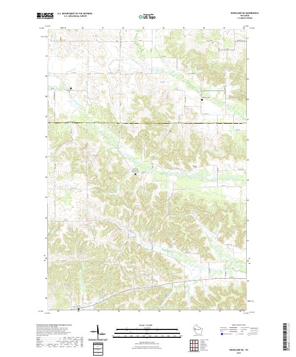
1975 Ridgeland NE
Dunn County, WI

1975 Sand Creek
Dunn County, WI
2022 Colfax North
Dunn County, WI
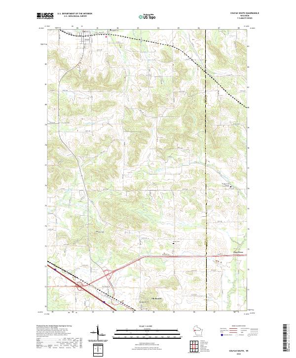
2022 Colfax South
Dunn County, WI
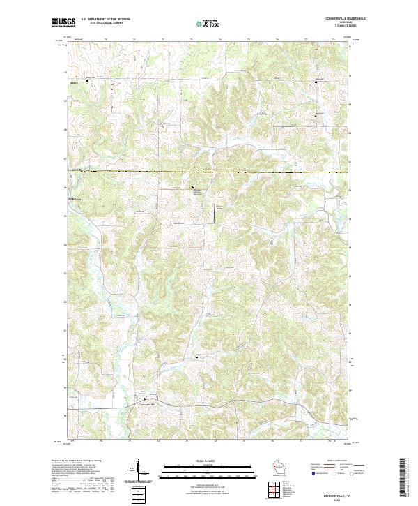
2022 Connorsville
Dunn County, WI
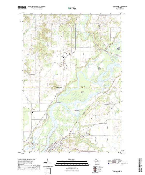
2022 Durand North
Dunn County, WI
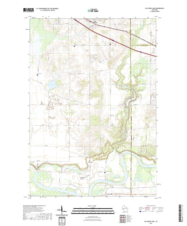
2022 Elk Creek Lake
Dunn County, WI
2022 Falls City
Dunn County, WI
2022 Menomonie North
Dunn County, WI
2022 Menomonie South
Dunn County, WI
2022 Meridean
Dunn County, WI
2022 Norton
Dunn County, WI
2022 Ridgeland NE
Dunn County, WI
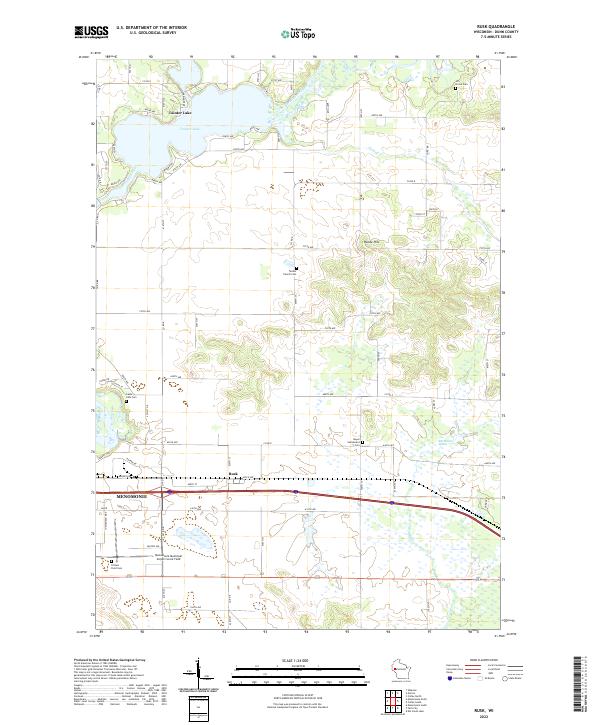
2022 Rusk
Dunn County, WI
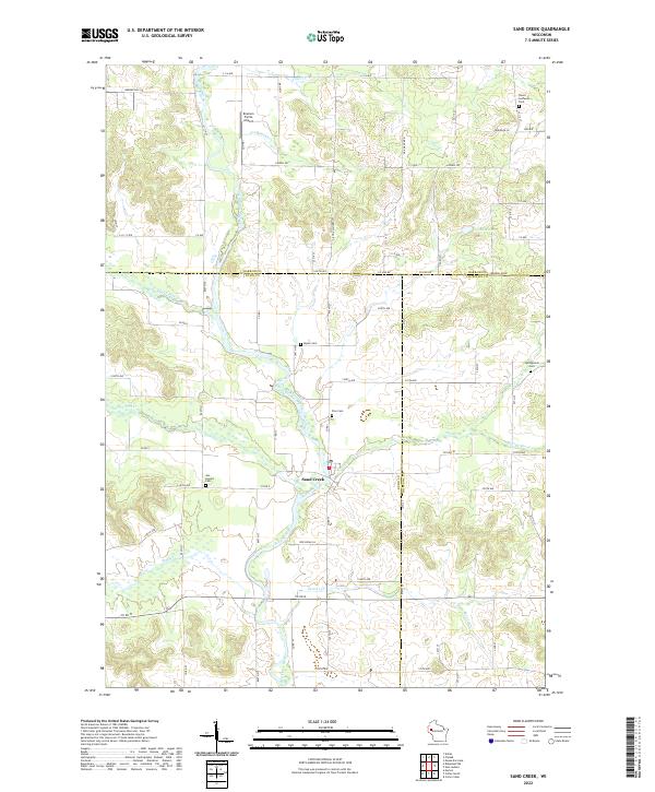
2022 Sand Creek
Dunn County, WI
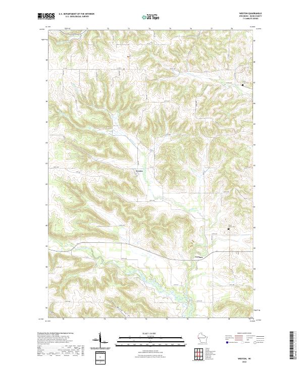
2022 Weston
Dunn County, WI