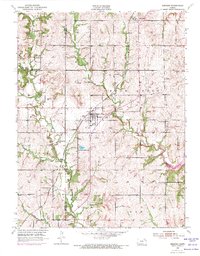
1952 Map of Meriden
USGS Topo · Published 1971About this map
Meriden serves as the central hub of this Jefferson County landscape, situated at a key intersection of regional transportation and drainage. The Atchison Topeka and Santa Fe railroad line cuts a path through the rolling terrain, passing near Dix Sch and the local Grange Hall. This 1952 edition, with photorevisions from 1970, illustrates the evolving water management of the area, featuring the northern reaches of the Perry Reservoir and the established Fin and Feather Lake. The map details a rural educational network that was still very visible at mid-century, including the Milligan Sch and Sunbeam Sch. The convergence of multiple watercourses, such as Rock Creek, French Creek, and Muddy Creek, highlights the complex topography that shaped early settlement patterns and land use in this part of Kansas.
Find a feature on this map
28 named features on this map. Tap any name to fly to it.
Don’t see what you’re looking for? This feature index may not catch every label — zoom into the map to look around manually.
Map Details
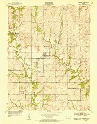
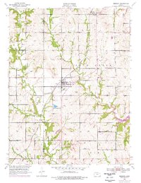
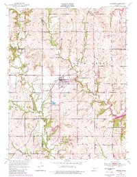
Editions of this 1952 Meriden Map
4 editions found
Other maps of this area

1886 · Oskaloosa
USGS Topo · 1:125,000

1888 · Oskaloosa
USGS Topo · 1:125,000

1889 · Topeka
USGS Topo · 1:125,000

1894 · Oskaloosa
USGS Topo · 1:125,000

1894 · Topeka
USGS Topo · 1:125,000

1949 · Perry
USGS Topo · 1:24,000

1950 · Perry
USGS Topo · 1:24,000

1950 · Kansas City
USGS Topo · 1:250,000

1950 · Topeka
USGS Topo · 1:24,000

1950 · Grantville
USGS Topo · 1:24,000