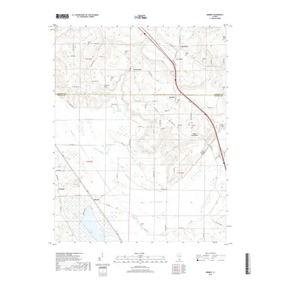
2018 Map of Mermet
USGS Topo · Published 2018About this map
Mermet and Ganntown anchor this Southern Illinois landscape, where the flat wetlands of the south meet the rising bluffs of the north. The southern portion of the map is defined by an extensive network of drainage channels, including New Columbia Ditch and Bear Cr Ditch, which manage the low-lying terrain near Eagle Pond. This drainage system allowed for the agricultural development of the region's fertile bottomlands.
Find a feature on this map
86 named features on this map. Tap any name to fly to it.
Don’t see what you’re looking for? This feature index may not catch every label — zoom into the map to look around manually.
Map Details
Editions of this 2018 Mermet Map
This is the sole edition of this map. No revisions or reprints were ever made.
Other maps of this area

1917 · Brownfield
USGS Topo · 1:62,500

1918 · Vienna
USGS Topo · 1:62,500

1919 · Vienna
USGS Topo · 1:62,500

1926 · Paducah
USGS Topo · 1:62,500

1928 · La Center
USGS Topo · 1:62,500

1929 · Paducah
USGS Topo · 1:62,500

1932 · La Center
USGS Topo · 1:62,500

1940 · Paducah
USGS Topo · 1:62,500

1942 · Vienna
USGS Topo · 1:62,500

1949 · Paducah
USGS Topo · 1:250,000