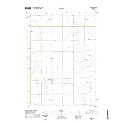
2019 Map of Merrill
USGS Topo · Published 2019About this map
Merrill serves as the primary hub of this agricultural landscape in Saginaw County, where a grid of rural roads connects small communities and an intricate water management system. The geography is defined by a dense network of man-made and natural waterways designed to drain the fertile land for cultivation, including the Mount Haley Drain, Kennedy Drain, and Fleming Drain. Small settlements like Ryan and Iva are located along these country routes, reflecting the dispersed nature of local residence outside the main village center.
Find a feature on this map
69 named features on this map. Tap any name to fly to it.
Don’t see what you’re looking for? This feature index may not catch every label — zoom into the map to look around manually.
Map Details
Editions of this 2019 Merrill Map
This is the sole edition of this map. No revisions or reprints were ever made.
Other maps of this area

1917 · St. Charles
USGS Topo · 1:62,500

1934 · Sanford
USGS Topo · 1:62,500

1934 · Merrill
USGS Topo · 1:62,500

1936 · Sanford
USGS Topo · 1:62,500

1937 · Merrill
USGS Topo · 1:62,500

1943 · St. Charles
USGS Topo · 1:62,500

1954 · Midland
USGS Topo · 1:250,000

1958 · Midland
USGS Topo · 1:250,000

1959 · Midland
USGS Topo · 1:250,000

1962 · Midland South
USGS Topo · 1:24,000
Featured Places
- Merrill, MI
- Wheeler Township, MI
- Lafayette Township, MI
- Jonesfield Township, MI
- Mount Haley Township, MI