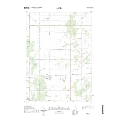
2023 Map of Merrill
USGS Topo · Published 2023About this map
Merrill serves as the central hub of this agricultural landscape at the tri-county junction of Saginaw, Midland, and Gratiot. The village layout is oriented around Gratiot Rd and Shannon St, with residential streets like W Alice St and S Midland St defining its core. Beyond the village limits, the terrain is defined by an extensive network of drainage systems essential for the region's productivity. Waterways such as Handy Creek, Stanton Drain, and Fleming Drain crisscross the township lines, illustrating the engineering required to manage the flat, low-lying fields. Smaller settlements like Ryan and Iva mark crossroads in the northern sections of the map, while the southern reaches are bordered by Swan Creek Rd and the Beaver Creek drainage area.
Find a feature on this map
73 named features on this map. Tap any name to fly to it.
Don’t see what you’re looking for? This feature index may not catch every label — zoom into the map to look around manually.
Map Details
Editions of this 2023 Merrill Map
This is the sole edition of this map. No revisions or reprints were ever made.
Other maps of this area

1917 · St. Charles
USGS Topo · 1:62,500

1934 · Sanford
USGS Topo · 1:62,500

1934 · Merrill
USGS Topo · 1:62,500

1936 · Sanford
USGS Topo · 1:62,500

1937 · Merrill
USGS Topo · 1:62,500

1943 · St. Charles
USGS Topo · 1:62,500

1954 · Midland
USGS Topo · 1:250,000

1958 · Midland
USGS Topo · 1:250,000

1959 · Midland
USGS Topo · 1:250,000

1962 · Midland South
USGS Topo · 1:24,000