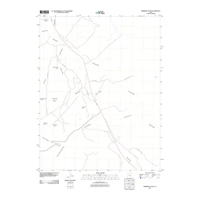
2011 Map of Merrimac Butte
USGS Topo · Published 2011About this map
Merrimac Butte and its companion Monitor Butte dominate this high-desert landscape in Grand County, where the erosion of sandstone has created a series of distinctive landmarks and natural bridges. The map documents a geography defined by deep drainages like Courthouse Wash and Sevenmile Canyon, which slice through the plateau. Of particular interest to local history researchers is the industrial and recreational access into the back-country via Cotter Mine Rd and the Willow Springs Trl.
Find a feature on this map
25 named features on this map. Tap any name to fly to it.
Don’t see what you’re looking for? This feature index may not catch every label — zoom into the map to look around manually.
Map Details
Editions of this 2011 Merrimac Butte Map
This is the sole edition of this map. No revisions or reprints were ever made.
Other maps of this area

1885 · La Sal
USGS Topo · 1:250,000

1951 · The Knoll
USGS Topo · 1:62,500

1952 · Moab 4 NW
USGS Topo · 1:24,000

1952 · Moab 3 NE
USGS Topo · 1:24,000

1952 · Moab 3 SE
USGS Topo · 1:24,000

1952 · Moab 4 SW
USGS Topo · 1:24,000

1956 · Moab
USGS Topo · 1:250,000

1958 · Crescent Junction
USGS Topo · 1:62,500

1958 · Thompson
USGS Topo · 1:62,500

1959 · Moab
USGS Topo · 1:250,000