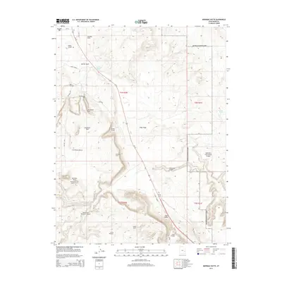
2014 Map of Merrimac Butte
USGS Topo · Published 2014About this map
Arches National Park defines the eastern boundary of this high desert landscape, where the plateaus of Cedar Ridge give way to a network of deeply etched drainages. The area is marked by significant geological formations, including the prominent twin features of Merrimac Butte and Monitor Butte, and the isolated spire of Courthouse Rock. Natural water sources, often scarce in this terrain, are identified by several springs such as Courthouse Spring, Lower Courthouse Spring, and Willow Spring, which likely served as vital landmarks for early travelers and cattlemen.
Find a feature on this map
36 named features on this map. Tap any name to fly to it.
Don’t see what you’re looking for? This feature index may not catch every label — zoom into the map to look around manually.
Map Details
Editions of this 2014 Merrimac Butte Map
This is the sole edition of this map. No revisions or reprints were ever made.
Other maps of this area

1885 · La Sal
USGS Topo · 1:250,000

1951 · The Knoll
USGS Topo · 1:62,500

1952 · Moab 4 NW
USGS Topo · 1:24,000

1952 · Moab 3 NE
USGS Topo · 1:24,000

1952 · Moab 3 SE
USGS Topo · 1:24,000

1952 · Moab 4 SW
USGS Topo · 1:24,000

1956 · Moab
USGS Topo · 1:250,000

1958 · Crescent Junction
USGS Topo · 1:62,500

1958 · Thompson
USGS Topo · 1:62,500

1959 · Moab
USGS Topo · 1:250,000