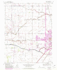
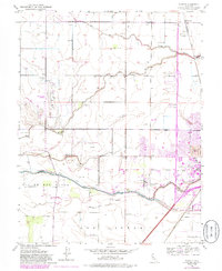
1952 Map of Merritt
USGS Topo · Published 1953About this map
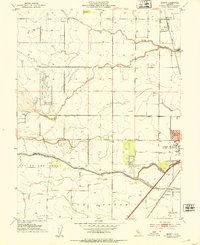
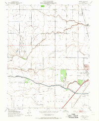
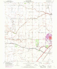
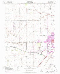
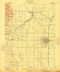
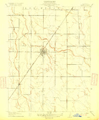
Putah Creek and the intricate drainage of Willow Slough define this section of the Sacramento Valley during a period of significant educational and agricultural expansion. The southeastern corner is dominated by the University of California College of Agriculture at Davis, showing the campus footprint alongside the University Airport. The landscape is etched with irrigation and water management features including the Willow Canal and Grant Canal, reflecting the region's intensive cultivation.
Find a feature on this map
21 named features on this map. Tap any name to fly to it.
Don’t see what you’re looking for? This feature index may not catch every label — zoom into the map to look around manually.
Map Details
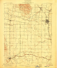
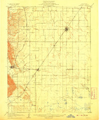
Editions of this 1952 Merritt Map
6 editions found
Other maps of this area
1907 · Woodland
USGS Topo · 1:62,500

1907 · Davisville
USGS Topo · 1:62,500
1908 · Vacaville
USGS Topo · 1:62,500

1908 · Courtland
USGS Topo · 1:62,500
1915 · Yolo
USGS Topo · 1:31,680

1915 · Swingle
USGS Topo · 1:31,680

1915 · Merritt
USGS Topo · 1:31,680
1916 · Dixon
USGS Topo · 1:31,680

1916 · Grays Bend
USGS Topo · 1:31,680

1916 · Jacobs Corner
USGS Topo · 1:31,680