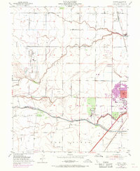
1952 Map of Merritt
USGS Topo · Published 1970About this map
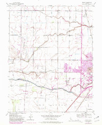
Davis and the burgeoning campus of the University of California anchor this mid-century portrait of Yolo County. The landscape is defined by the legacy of early Spanish land claims, including the Rio De Los Putos Grant and Los Putos Grant, which contrast with the rigid sectional geometry of the surrounding agricultural fields. Along the Southern Pacific rail line, the small settlement of Merritt and the Elston Spur reflect the area's rail-dependent logistics, while the presence of the University Airport and the Davis Winters Airstrip signal a transition toward modern aviation. Water management is central to this environment, with the complex drainage of Willow Slough and Dry Slough feeding toward Putah Creek. Purple revisions from 1968 highlight the northward and westward expansion of the city into West Davis, showing the early suburbanization of former ranch lands.
Find a feature on this map
20 named features on this map. Tap any name to fly to it.
Don’t see what you’re looking for? This feature index may not catch every label — zoom into the map to look around manually.
Map Details
Editions of this 1952 Merritt Map
6 editions found
Other maps of this area

1907 · Woodland
USGS Topo · 1:62,500

1907 · Davisville
USGS Topo · 1:62,500

1908 · Vacaville
USGS Topo · 1:62,500

1908 · Courtland
USGS Topo · 1:62,500

1915 · Yolo
USGS Topo · 1:31,680

1915 · Swingle
USGS Topo · 1:31,680

1915 · Merritt
USGS Topo · 1:31,680

1916 · Dixon
USGS Topo · 1:31,680

1916 · Grays Bend
USGS Topo · 1:31,680

1916 · Jacobs Corner
USGS Topo · 1:31,680