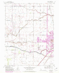
1952 Map of Merritt
USGS Topo · Published 1981About this map
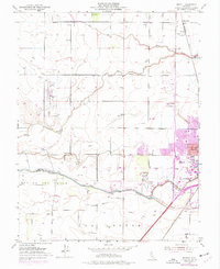
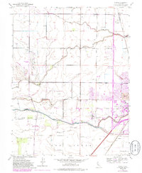
The agricultural plains of Yolo and Solano Counties are defined by a complex network of seasonal drainage and early aviation infrastructure in this mid-century topographic survey. The landscape is anchored by the growing campus of the University of California and the expanding town of Davis, with the purple-tinted revisions reflecting significant suburban growth into the late 1970s. The northern reaches show the smaller rail-side settlements of Merritt and Elston Spur along the Southern Pacific line, while the southern boundary follows the historic path of Putah Creek and its south fork.
Find a feature on this map
21 named features on this map. Tap any name to fly to it.
Don’t see what you’re looking for? This feature index may not catch every label — zoom into the map to look around manually.
Map Details
Editions of this 1952 Merritt Map
6 editions found
Other maps of this area

1907 · Woodland
USGS Topo · 1:62,500

1907 · Davisville
USGS Topo · 1:62,500

1908 · Vacaville
USGS Topo · 1:62,500

1908 · Courtland
USGS Topo · 1:62,500

1915 · Yolo
USGS Topo · 1:31,680

1915 · Swingle
USGS Topo · 1:31,680

1915 · Merritt
USGS Topo · 1:31,680

1916 · Dixon
USGS Topo · 1:31,680

1916 · Grays Bend
USGS Topo · 1:31,680

1916 · Jacobs Corner
USGS Topo · 1:31,680