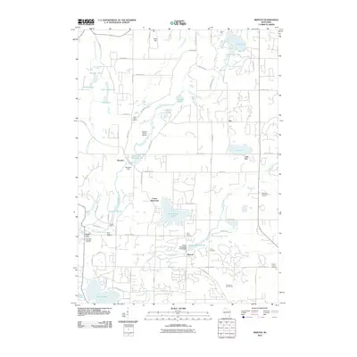
2010 Map of Merton
USGS Topo · Published 2010About this map
Holy Hill stands as a prominent landmark in this region of Washington and Waukesha counties, where the glacial landscape is defined by an intricate network of kettle lakes and rivers. The settlement of Merton serves as a focal point along the Bark River, where industrial history is marked by the Merton Rolling Mill E-4528 Dam and the Merton Millpond 26. Further north, the Oconomowoc River feeds into Monches Millpond 38 at the village of Monches, highlighting a legacy of water-powered industry.
Find a feature on this map
66 named features on this map. Tap any name to fly to it.
Don’t see what you’re looking for? This feature index may not catch every label — zoom into the map to look around manually.
Map Details
Editions of this 2010 Merton Map
This is the sole edition of this map. No revisions or reprints were ever made.
Other maps of this area

1892 · Waukesha
USGS Topo · 1:62,500

1892 · Oconomowoc
USGS Topo · 1:62,500

1901 · Waukesha
USGS Topo · 1:62,500

1904 · West Bend
USGS Topo · 1:62,500

1904 · Hartford
USGS Topo · 1:62,500

1906 · Waukesha
USGS Topo · 1:62,500

1909 · Oconomowoc
USGS Topo · 1:62,500

1957 · Madison
USGS Topo · 1:250,000

1959 · West Bend
USGS Topo · 1:62,500
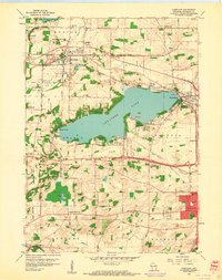
1959 · Hartland
USGS Topo · 1:24,000