
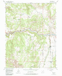
1955 Map of Mesa
USGS Topo · Published 1957About this map
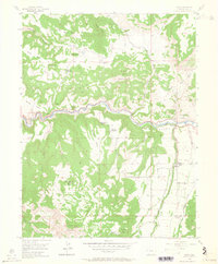
Mesa serves as the primary settlement in this 1950s survey of the western Colorado landscape, situated where Mesa Creek meets the broader Plateau Valley. The map is a remarkable genealogical resource, documenting a series of remote residences across the high desert terrain, including the Atwell Homestead and the Morris Ranch. Several sites are already noted as out of use by the mid-century, such as the Harris Homestead, Eddington Homestead, and the Carver Homestead. A notable landmark for local historians is the Marker Tree, designated as a historical site south of town. The topography is defined by significant elevations like Black Mountain and Chalk Mountain, while the drainage of Plateau Creek carves through the center of the quadrangle, flanked by prominent flats including Silvey Flats and Windger Flats.
Find a feature on this map
39 named features on this map. Tap any name to fly to it.
Don’t see what you’re looking for? This feature index may not catch every label — zoom into the map to look around manually.
Map Details
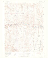
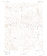
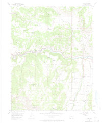
Editions of this 1955 Mesa Map
6 editions found
Other maps of this area

1929 · Grand Valley
USGS Topo · 1:62,500

1929 · Roan Creek
USGS Topo · 1:62,500

1955 · Cameo
USGS Topo · 1:24,000

1955 · Molina
USGS Topo · 1:24,000

1955 · Skyway
USGS Topo · 1:24,000

1956 · Grand Junction
USGS Topo · 1:250,000

1959 · Grand Junction
USGS Topo · 1:250,000

1960 · Grand Junction
USGS Topo · 1:250,000

1962 · Grand Junction
USGS Topo · 1:250,000
1962 · Housetop Mountain
USGS Topo · 1:24,000