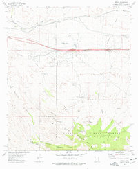
1973 Map of Mescal
USGS Topo · Published 1976About this map
The Whetstone Mountains dominate the southern landscape of this 1973 survey, where the rugged slopes meet the high desert plains. Within the Coronado National Forest, a network of springs such as Wakefield Spring, Little Nogales Spring, and Silver Spring provide critical water sources in the arid terrain, supporting the local ranching economy represented by the Double X Ranch, Jay Six Ranch, and Williams Ranch. To the north, the settlement of Mescal serves as a hub where modern transportation infrastructure, including the Mescal Interchange, intersects with the historic path of the Southern Pacific Railroad. The map captures a transition period in Southeastern Arizona, documenting the expansion of utilities via various pipelines alongside older ranching landmarks like the Bill Williams Tank and the remnants of an Old Grade.
Find a feature on this map
44 named features on this map. Tap any name to fly to it.
Don’t see what you’re looking for? This feature index may not catch every label — zoom into the map to look around manually.
Map Details
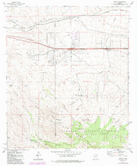
Editions of this 1973 Mescal Map
2 editions found
Other maps of this area

1904 · Patagonia
USGS Topo · 1:125,000

1904 · Tucson
USGS Topo · 1:125,000

1905 · Patagonia
USGS Topo · 1:125,000

1905 · Tucson
USGS Topo · 1:125,000

1915 · Benson
USGS Topo · 1:125,000

1926 · Whetstone
USGS Topo · 1:62,500

1943 · Benson
USGS Topo · 1:125,000

1945 · Happy Valley
USGS Topo · 1:62,500

1956 · Nogales
USGS Topo · 1:250,000

1956 · Tucson
USGS Topo · 1:250,000