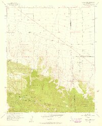
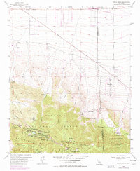
1956 Map of Mescal Creek
USGS Topo · Published 1958About this map
Angeles National Forest and San Bernardino National Forest meet in this mid-century survey, revealing a landscape defined by seasonal camps and high-altitude recreation. The southern portion of the map is densely populated with community-specific retreats like YMCA Camp, All Nations Camp, and Camp Verdugo Pines, gathered around the waters of Jackson Lake. Further east, Table Mountain hosts the Smithsonian Observatory and a Ski Lift, highlighting the area's dual role as a scientific and alpine leisure destination. In the lower elevations to the north, the terrain shifts toward a desert-edge economy where Fort Tejon Road skirts Desert Springs and family-held outposts such as Hagenbaugh Ranch. The transition from the steep canyons of Mescal Creek to the alluvial flats reflects the complex geography at the county line between Los Angeles and San Bernardino.
Find a feature on this map
50 named features on this map. Tap any name to fly to it.
Don’t see what you’re looking for? This feature index may not catch every label — zoom into the map to look around manually.
Map Details
Editions of this 1956 Mescal Creek Map
6 editions found
Other maps of this area

1901 · Southern California Sheet No. 1
USGS Topo · 1:250,000

1903 · Rock Creek
USGS Topo · 1:62,500

1903 · San Antonio
USGS Topo · 1:62,500

1904 · Southern California Sheet No. 1
USGS Topo · 1:250,000

1930 · Black Butte
USGS Topo · 1:24,000

1930 · Angle
USGS Topo · 1:24,000

1932 · Angle
USGS Topo · 1:24,000

1933 · Black Butte
USGS Topo · 1:24,000

1934 · Mescal Creek
USGS Topo · 1:24,000
1934 · Boneyard Canyon
USGS Topo · 1:24,000