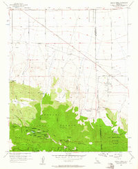
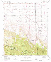
1956 Map of Mescal Creek
USGS Topo · Published 1961About this map
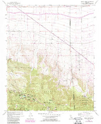
The high desert meets the northern slopes of the San Gabriel Mountains in this mid-century survey of the California landscape. Running through the heart of the terrain, the Antelope Highway and Pearblossom Highway serve as the primary conduits for travel between the burgeoning desert outposts. The map reveals a dense concentration of mountain retreats and organizational camps within the Angeles National Forest, including Camp Teresita Pines, Camp Junipero Serra, and the Centinela Valley Camp.
Find a feature on this map
54 named features on this map. Tap any name to fly to it.
Don’t see what you’re looking for? This feature index may not catch every label — zoom into the map to look around manually.
Map Details
Editions of this 1956 Mescal Creek Map
6 editions found
Other maps of this area

1901 · Southern California Sheet No. 1
USGS Topo · 1:250,000

1903 · Rock Creek
USGS Topo · 1:62,500

1903 · San Antonio
USGS Topo · 1:62,500

1904 · Southern California Sheet No. 1
USGS Topo · 1:250,000

1930 · Black Butte
USGS Topo · 1:24,000

1930 · Angle
USGS Topo · 1:24,000

1932 · Angle
USGS Topo · 1:24,000

1933 · Black Butte
USGS Topo · 1:24,000

1934 · Mescal Creek
USGS Topo · 1:24,000
1934 · Boneyard Canyon
USGS Topo · 1:24,000