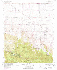
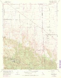
1956 Map of Mescal Creek
USGS Topo · Published 1978About this map
Pinon Hills serves as a gateway between the desert floor and the high timber of the San Gabriel Mountains during the mid-1950s. This survey, updated with 1968 aerial revisions, documents a landscape defined by seasonal watercourses and an extensive network of youth and recreational camps. Concentrations of these sites, such as Camp Jubilee, Camp Teresita Pines, and All Nations Camp, line the southern slopes, suggesting a period of significant institutional investment in the mountain recreation economy. The map also highlights the scientific and agricultural presence in the high desert through the Smithsonian Observatory and remote outposts like Hagenbaugh Ranch. Topographical details like Boulder Canyon and Mescal Creek trace the drainage patterns towards the Antelope Highway, illustrating the transition from steep alpine terrain to the arid flats of the Los Angeles and San Bernardino county line.
Find a feature on this map
49 named features on this map. Tap any name to fly to it.
Don’t see what you’re looking for? This feature index may not catch every label — zoom into the map to look around manually.
Map Details
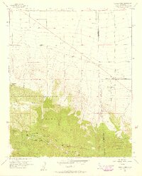
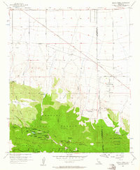
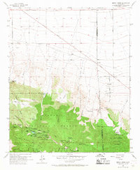
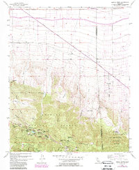
Editions of this 1956 Mescal Creek Map
6 editions found
Other maps of this area

1901 · Southern California Sheet No. 1
USGS Topo · 1:250,000

1903 · Rock Creek
USGS Topo · 1:62,500

1903 · San Antonio
USGS Topo · 1:62,500

1904 · Southern California Sheet No. 1
USGS Topo · 1:250,000

1930 · Black Butte
USGS Topo · 1:24,000

1930 · Angle
USGS Topo · 1:24,000

1932 · Angle
USGS Topo · 1:24,000

1933 · Black Butte
USGS Topo · 1:24,000

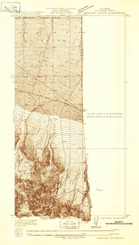
1934 · Mescal Creek
USGS Topo · 1:24,000
1934 · Boneyard Canyon
USGS Topo · 1:24,000