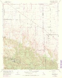
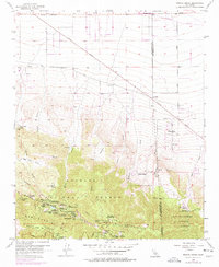
1956 Map of Mescal Creek
USGS Topo · Published 1969About this map
Angeles National Forest and San Bernardino National Forest dominate the southern portion of this mid-century survey, where the San Gabriel Mountains rise sharply from the Antelope Valley. The landscape is a study in transitional land use, featuring a dense concentration of mountain retreats and recreation sites such as All Nations Camp, Camp Teresita Pines, and Camp Kiwanis. Scientific and infrastructure development is evident at the Smithsonian Observatory on the heights of Blue Ridge.
Find a feature on this map
55 named features on this map. Tap any name to fly to it.
Don’t see what you’re looking for? This feature index may not catch every label — zoom into the map to look around manually.
Map Details
Editions of this 1956 Mescal Creek Map
6 editions found
Other maps of this area

1901 · Southern California Sheet No. 1
USGS Topo · 1:250,000

1903 · Rock Creek
USGS Topo · 1:62,500

1903 · San Antonio
USGS Topo · 1:62,500

1904 · Southern California Sheet No. 1
USGS Topo · 1:250,000

1930 · Black Butte
USGS Topo · 1:24,000

1930 · Angle
USGS Topo · 1:24,000

1932 · Angle
USGS Topo · 1:24,000

1933 · Black Butte
USGS Topo · 1:24,000

1934 · Mescal Creek
USGS Topo · 1:24,000
1934 · Boneyard Canyon
USGS Topo · 1:24,000