
1973 Map of Mescalero Point NE
USGS Topo · Published 1976About this map
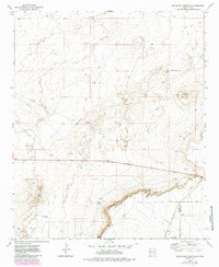
Mescalero Ridge and the dramatic escarpment of The Caprock dominate this high plains landscape on the border of Chaves and Lea counties. Surveyed in the early 1970s, the map reveals a remote industrial and ranching environment defined by a network of Jeep Trails and a prominent Pipeline cutting across the arid terrain. Natural drainage features like Polecat Canyon contrast with man-made water sources such as Cottonwood Tank and Pecan Tank, which were essential for sustaining life and livestock in this portion of the Llano Estacado.
Find a feature on this map
12 named features on this map. Tap any name to fly to it.
Don’t see what you’re looking for? This feature index may not catch every label — zoom into the map to look around manually.
Map Details
Editions of this 1973 Mescalero Point NE Map
2 editions found
Other maps of this area

1954 · Brownfield
USGS Topo · 1:250,000

1958 · Brownfield
USGS Topo · 1:250,000

1962 · Brownfield
USGS Topo · 1:250,000

1973 · Culp Ranch
USGS Topo · 1:24,000

1973 · Mescalero Point
USGS Topo · 1:24,000

1973 · Soldier Hill
USGS Topo · 1:24,000

1973 · Caprock
USGS Topo · 1:24,000
1973 · Oasis
USGS Topo · 1:24,000
1978 · Presler Lake
USGS Topo · 1:24,000
1979 · Curlew Lake SE
USGS Topo · 1:24,000