
1937 Map of Metamora
USGS Topo · Published 1937About this map
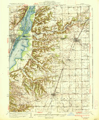
The Illinois River corridor dominates the western edge of this landscape, carving a wide valley filled with intricate waterways like Goose Lake, Babb Slough, and Devess Slough. This 1930s-era documentation captures a dense network of rural infrastructure, where nearly every section contains a named schoolhouse or church serving small farming communities. The town of Metamora serves as a southern hub, while Chillicothe and North Chillicothe mark the vital crossing points for the Chicago Rock Island and Pacific railroad.
Find a feature on this map
92 named features on this map. Tap any name to fly to it.
Don’t see what you’re looking for? This feature index may not catch every label — zoom into the map to look around manually.
Map Details
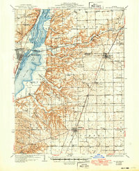
Editions of this 1937 Metamora Map
3 editions found
Other maps of this area

1893 · Lacon
USGS Topo · 1:62,500

1893 · Metamora
USGS Topo · 1:62,500

1893 · Dunlap
USGS Topo · 1:62,500

1898 · Dunlap
USGS Topo · 1:62,500

1905 · Peoria
USGS Topo · 1:62,500

1927 · Peoria
USGS Topo · 1:62,500

1927 · Danvers
USGS Topo · 1:62,500

1928 · Mackinaw
USGS Topo · 1:62,500

1930 · Danvers
USGS Topo · 1:62,500

1932 · Mackinaw
USGS Topo · 1:62,500