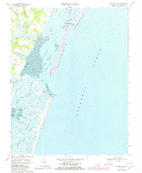
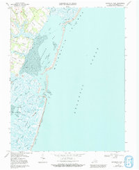
1968 Map of Metomkin Inlet
USGS Topo · Published 1980About this map
Parker and Joynes anchor the mainland portion of this coastal survey, where the terrestrial landscape of the Eastern Shore meets the complex hydrologic network of the Atlantic seaboard. The intricate waterways of the Virginia Inside Passage thread through a series of necks, including Parker Neck and Joynes Neck, before opening into the expansive Metomkin Bay. The geography is defined by a shifting barrier system, notably Metomkin Island and Cedar Island, separated by the namesake Metomkin Inlet. This 1960s environment is captured in transition, with tidal flats and channels such as Warwick Channel and Great Channel constantly reshaping the marshy shoreline. Local landmarks like the Lookout Tower near Battle Pt and various boat landings indicate the maritime reliance of these small communities during this era.
Find a feature on this map
47 named features on this map. Tap any name to fly to it.
Don’t see what you’re looking for? This feature index may not catch every label — zoom into the map to look around manually.
Map Details
Editions of this 1968 Metomkin Inlet Map
5 editions found
Other maps of this area

1931 · Accomac
USGS Topo · 1:48,000

1935 · Accomac
USGS Topo · 1:62,500

1942 · Mappsville
USGS Topo · 1:24,000

1942 · Wallops Island
USGS Topo · 1:24,000

1942 · Parksley
USGS Topo · 1:24,000

1943 · Parksley
USGS Topo · 1:31,680

1943 · Mappsville
USGS Topo · 1:31,680

1943 · Wallops Island
USGS Topo · 1:31,680

1946 · Eastville
USGS Topo · 1:250,000
1957 · Accomac
USGS Topo · 1:24,000