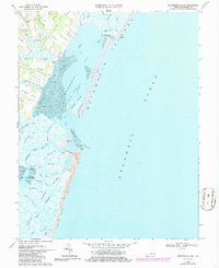
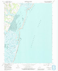
1968 Map of Metompkin Inlet
USGS Topo · Published 1986About this map
Metompkin Islands and the long, sandy stretch of Cedar Island dominate this coastal landscape of Accomack County, Virginia, as documented in the late 1960s. The map illustrates a complex network of maritime navigation, centered on the Virginia Inside Passage and the shifting waters of Metompkin Inlet. Landforms are defined by several prominent points and necks, including Parker Neck, Baylys Neck, and Joynes Neck, which extend into the marshy interface of Metompkin Bay.
Find a feature on this map
50 named features on this map. Tap any name to fly to it.
Don’t see what you’re looking for? This feature index may not catch every label — zoom into the map to look around manually.
Map Details
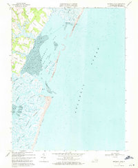
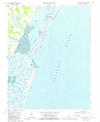
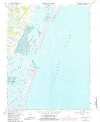
Editions of this 1968 Metompkin Inlet Map
5 editions found
Other maps of this area

1931 · Accomac
USGS Topo · 1:48,000

1935 · Accomac
USGS Topo · 1:62,500

1942 · Mappsville
USGS Topo · 1:24,000

1942 · Wallops Island
USGS Topo · 1:24,000

1942 · Parksley
USGS Topo · 1:24,000

1943 · Parksley
USGS Topo · 1:31,680

1943 · Mappsville
USGS Topo · 1:31,680

1943 · Wallops Island
USGS Topo · 1:31,680

1946 · Eastville
USGS Topo · 1:250,000
1957 · Accomac
USGS Topo · 1:24,000