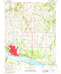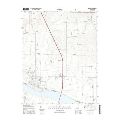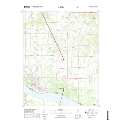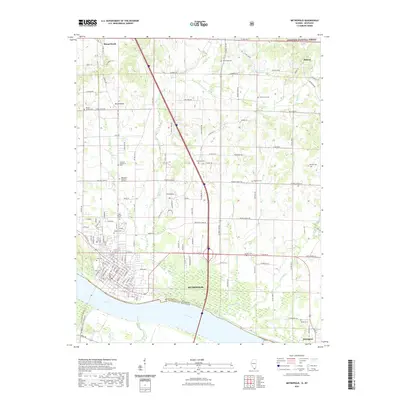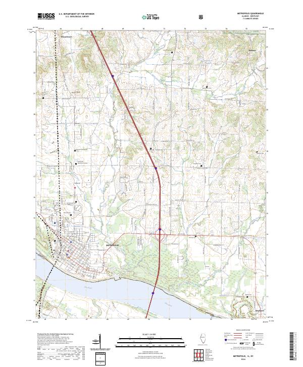
1954 Map of Metropolis
USGS Topo · Published 1955About this map
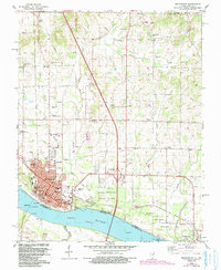
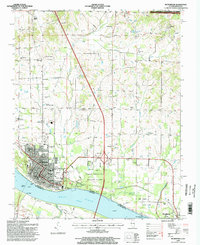
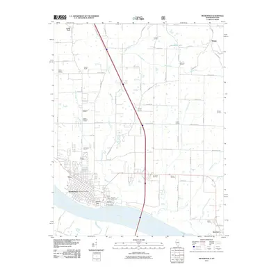
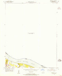
The Ohio River dominates this mid-1950s survey of the border between Illinois and Kentucky, capturing the vital river-and-rail infrastructure of the region. A critical waypoint for river navigation is shown at Lock and Dam No 52, situated along the northern bank where the Massac Creek empties into the main channel. The landscape is defined by the heavy transportation corridors that drove the local economy, specifically the Illinois Central Railroad which skirts the riverbank. This map serves as a record of the river's controlled state at the Normal Pool Elev 290, documenting the specific shoreline and navigational lights essential for mid-century commerce near the Massac and McCracken county line.
Find a feature on this map
8 named features on this map. Tap any name to fly to it.
Don’t see what you’re looking for? This feature index may not catch every label — zoom into the map to look around manually.
Map Details
Editions of this 1954 Metropolis Map
This is the sole edition of this map. No revisions or reprints were ever made.
Historical Maps of Metropolis Through Time
9 maps found