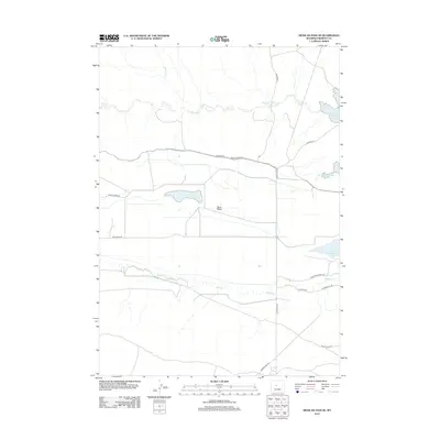
2012 Map of Mexican Pass SE
USGS Topo · Published 2012About this map
Sand Mesa anchors this high-desert landscape in Fremont County, where a network of water management features reveals the region's agricultural and hydrologic character. The sheet is defined by significant water bodies, including Lake Cameahwait and the western edge of the Boysen Reservoir. These reservoirs, alongside Middle Reservoir and Sand Mesa Number 1 Reservoir, suggest a carefully engineered environment designed to capture and distribute water from intermittent sources like Cottonwood Cr and Muddy Cr. The road network, featuring routes such as Mexican Pass Rd and Lake Cameahwait Rd, provides access across the arid terrain, connecting these vital water resources. This survey illustrates the essential relationship between Wyoming's desert topography and the infrastructure required to sustain the land's utility.
Find a feature on this map
16 named features on this map. Tap any name to fly to it.
Don’t see what you’re looking for? This feature index may not catch every label — zoom into the map to look around manually.
Map Details
Editions of this 2012 Mexican Pass SE Map
This is the sole edition of this map. No revisions or reprints were ever made.
Other maps of this area

1950 · Mexican Pass SW
USGS Topo · 1:24,000

1950 · Bonneville SW
USGS Topo · 1:24,000

1951 · Mexican Pass SE
USGS Topo · 1:24,000

1951 · Boysen
USGS Topo · 1:24,000

1951 · Mexican Pass
USGS Topo · 1:24,000

1951 · Morrison Canyon
USGS Topo · 1:24,000

1951 · Hidden Valley
USGS Topo · 1:24,000

1952 · Riverton NE
USGS Topo · 1:24,000

1952 · Lost Wells Butte
USGS Topo · 1:24,000

1955 · Thermopolis
USGS Topo · 1:250,000