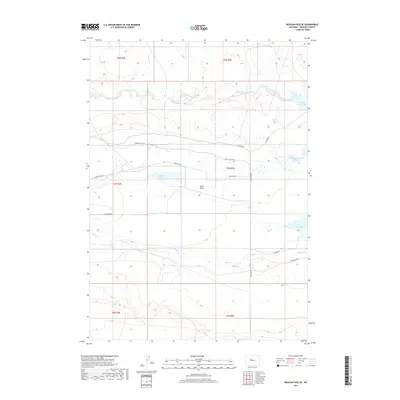
2017 Map of Mexican Pass SE
USGS Topo · Published 2017About this map
Stagner Creek flows through this high-desert landscape in Fremont County, marking a terrain defined by subtle drainages and the characteristic township and range boundaries of the American West. This 2017 study captures the geography of the Wind River Basin area, where seasonal watercourses like Stagner Creek shape the dry surface. The map reflects a modern record of land management and hydrography, as compiled from multiple government datasets including the National Hydrography Dataset and the National Elevation Dataset. While feature-sparse, the map provides precise data on the natural contours and the systematic grid of public land surveys in this portion of Wyoming.
Find a feature on this map
1 named feature on this map. Tap any name to fly to it.
Don’t see what you’re looking for? This feature index may not catch every label — zoom into the map to look around manually.
Map Details
Editions of this 2017 Mexican Pass SE Map
This is the sole edition of this map. No revisions or reprints were ever made.
Other maps of this area

1950 · Mexican Pass SW
USGS Topo · 1:24,000

1950 · Bonneville SW
USGS Topo · 1:24,000

1951 · Mexican Pass SE
USGS Topo · 1:24,000

1951 · Boysen
USGS Topo · 1:24,000

1951 · Mexican Pass
USGS Topo · 1:24,000

1951 · Morrison Canyon
USGS Topo · 1:24,000

1951 · Hidden Valley
USGS Topo · 1:24,000

1952 · Riverton NE
USGS Topo · 1:24,000

1952 · Lost Wells Butte
USGS Topo · 1:24,000

1955 · Thermopolis
USGS Topo · 1:250,000