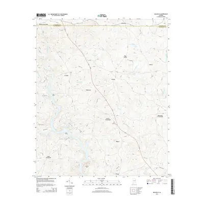
2014 Map of Micaville
USGS Topo · Published 2014About this map
The Tallapoosa River snakes through the western portion of this landscape, marking a topographically varied region where Cleburne and Randolph counties meet. Historically significant crossings like Lee Bridge and Foster Bridge highlight the traditional importance of river access in this part of Alabama. The settlement pattern is defined by rural hubs such as Hollis Crossroads and Morrison Crossroads, linked by a network of local routes and the prominent corridor of Us-431.
Find a feature on this map
42 named features on this map. Tap any name to fly to it.
Don’t see what you’re looking for? This feature index may not catch every label — zoom into the map to look around manually.
Map Details
Editions of this 2014 Micaville Map
This is the sole edition of this map. No revisions or reprints were ever made.
Other maps of this area

1889 · Tallapoosa
USGS Topo · 1:125,000

1891 · Ashland
USGS Topo · 1:125,000

1892 · Tallapoosa
USGS Topo · 1:125,000

1897 · Tallapoosa
USGS Topo · 1:125,000

1899 · Wedowee
USGS Topo · 1:125,000

1900 · Anniston
USGS Topo · 1:125,000

1902 · Wedowee
USGS Topo · 1:125,000

1953 · Atlanta
USGS Topo · 1:250,000

1957 · Atlanta
USGS Topo · 1:250,000

1958 · Atlanta
USGS Topo · 1:250,000