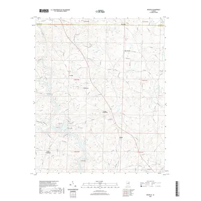
2020 Map of Micaville
USGS Topo · Published 2020About this map
The Tallapoosa River winds through this rural landscape on the border of Cleburne and Randolph counties, anchoring a network of small upland communities. Settlement is defined by historic crossroads such as Foster Crossroad and Fuller Crossroad, where the winding topography dictates a spiderweb of county roads. Genealogists will find significant value in the distribution of local landmarks like Corinth Cem, Fowler Cem, and the Valley Grove Cem, which serve as quiet markers of the area's long-standing families.
Find a feature on this map
114 named features on this map. Tap any name to fly to it.
Don’t see what you’re looking for? This feature index may not catch every label — zoom into the map to look around manually.
Map Details
Editions of this 2020 Micaville Map
This is the sole edition of this map. No revisions or reprints were ever made.
Other maps of this area

1889 · Tallapoosa
USGS Topo · 1:125,000

1891 · Ashland
USGS Topo · 1:125,000

1892 · Tallapoosa
USGS Topo · 1:125,000

1897 · Tallapoosa
USGS Topo · 1:125,000

1899 · Wedowee
USGS Topo · 1:125,000

1900 · Anniston
USGS Topo · 1:125,000

1902 · Wedowee
USGS Topo · 1:125,000

1953 · Atlanta
USGS Topo · 1:250,000

1957 · Atlanta
USGS Topo · 1:250,000

1958 · Atlanta
USGS Topo · 1:250,000