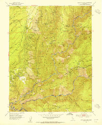
1952 Map of Michigan Bluff
USGS Topo · Published 1954About this map
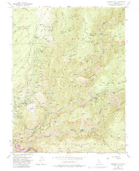
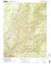
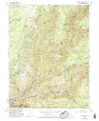
Michigan Bluff serves as the focal point for this early 1950s survey of the California gold country, situated on a ridge between Michigan Canyon and the Middle Fork American River. The map reveals an intensive history of resource extraction, with the landscape marked by hydraulic mining operations at Big Gun Diggings and Digger Diggings. The presence of several historic locations like Maintop, Deadwood, and Sunny South suggests a shift from active gold-rush towns to remote forest sites by the mid-20th century.
Find a feature on this map
138 named features on this map. Tap any name to fly to it.
Don’t see what you’re looking for? This feature index may not catch every label — zoom into the map to look around manually.
Map Details
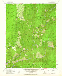
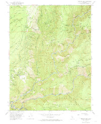
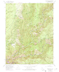
Editions of this 1952 Michigan Bluff Map
7 editions found
Other maps of this area

1891 · Colfax
USGS Topo · 1:125,000

1891 · Placerville
USGS Topo · 1:125,000

1892 · Placerville
USGS Topo · 1:125,000

1892 · Colfax
USGS Topo · 1:125,000

1893 · Placerville
USGS Topo · 1:125,000

1894 · Colfax
USGS Topo · 1:125,000

1898 · Colfax
USGS Topo · 1:125,000

1900 · Colfax
USGS Topo · 1:125,000

1902 · Colfax
USGS Topo · 1:125,000

1938 · Colfax
USGS Topo · 1:125,000