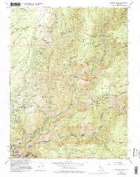
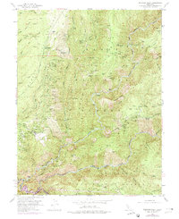
1952 Map of Michigan Bluff
USGS Topo · Published 1995About this map
The Forest Hill Divide serves as the topographic spine of this Gold Country landscape, separating the intricate drainages of the Middle Fork American River and the North Fork American River. By the mid-20th century, the era of intensive hydraulic mining is preserved in labels like Big Gun Diggings near the settlement of Michigan Bluff. The map records a transition from active industry to archaeological memory, noting numerous former habitations such as Sunny South (Site), Deadwood (Site), and Last Chance (Site). The terrain is defined by steep ridges like Volcano Ridge and Mosquito Ridge, where dozens of hard-rock operations including the Hidden Treasure Mine and Mountain Chief Mine once operated. This survey documents the complex water-conveyance infrastructure and remote mining camps that shaped the Placer County high country.
Find a feature on this map
128 named features on this map. Tap any name to fly to it.
Don’t see what you’re looking for? This feature index may not catch every label — zoom into the map to look around manually.
Map Details
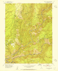
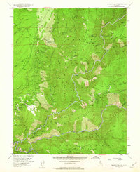
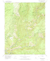
Editions of this 1952 Michigan Bluff Map
7 editions found
Other maps of this area

1891 · Colfax
USGS Topo · 1:125,000

1891 · Placerville
USGS Topo · 1:125,000

1892 · Placerville
USGS Topo · 1:125,000

1892 · Colfax
USGS Topo · 1:125,000

1893 · Placerville
USGS Topo · 1:125,000

1894 · Colfax
USGS Topo · 1:125,000

1898 · Colfax
USGS Topo · 1:125,000

1900 · Colfax
USGS Topo · 1:125,000

1902 · Colfax
USGS Topo · 1:125,000

1938 · Colfax
USGS Topo · 1:125,000