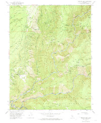
1952 Map of Michigan Bluff
USGS Topo · Published 1974About this map
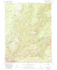
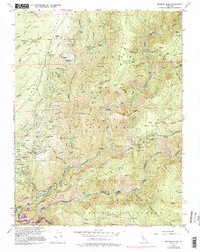
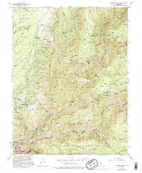
Michigan Bluff sits atop the Forest Hill Divide, overlooking a landscape heavily shaped by gold mining along the Middle Fork American River. This mid-century survey reveals the massive footprint of the Big Gun Diggings adjacent to the townsite, alongside numerous smaller extraction points like the Golden Gate Mine and Turkey Hill Mine. The complex network of water management is evident in features such as the Ditch Camp and the winding Peavine Creek.
Find a feature on this map
140 named features on this map. Tap any name to fly to it.
Don’t see what you’re looking for? This feature index may not catch every label — zoom into the map to look around manually.
Map Details
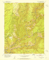
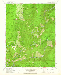
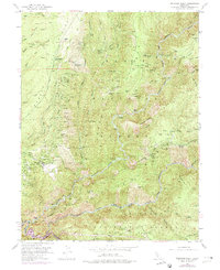
Editions of this 1952 Michigan Bluff Map
7 editions found
Other maps of this area

1891 · Colfax
USGS Topo · 1:125,000

1891 · Placerville
USGS Topo · 1:125,000

1892 · Placerville
USGS Topo · 1:125,000

1892 · Colfax
USGS Topo · 1:125,000

1893 · Placerville
USGS Topo · 1:125,000

1894 · Colfax
USGS Topo · 1:125,000

1898 · Colfax
USGS Topo · 1:125,000

1900 · Colfax
USGS Topo · 1:125,000

1902 · Colfax
USGS Topo · 1:125,000

1938 · Colfax
USGS Topo · 1:125,000