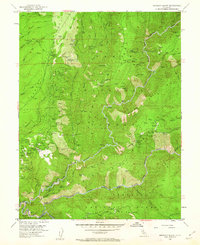
1952 Map of Michigan Bluff
USGS Topo · Published 1962About this map
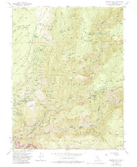
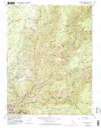
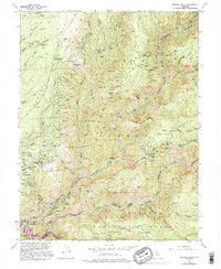
The Forest Hill Divide separates the deep river canyons of the North Fork American River and the Middle Fork American River, defining a landscape heavily marked by mid-century resource extraction and early settlement sites. Gold mining legacy is evident in the extensive Big Gun Diggings near Michigan Bluff, as well as dozens of named shafts and tunnels like the Mountain Chief Mine, Golden Gate Mine, and El Dorado Hill Mine. The map documents several ghost towns or former settlements, labeled as sites, including Sunnysouth, Maintop, and Deadwood. High on the ridges, the Mosquito Ridge Lookout and the Cedar Springs Flight Strip provided essential infrastructure for the Tahoe National Forest. Along the riverbanks, numerous bars such as Stumps Bar and Alabama Bar indicate areas of earlier placer activity or prominent river crossings.
Find a feature on this map
145 named features on this map. Tap any name to fly to it.
Don’t see what you’re looking for? This feature index may not catch every label — zoom into the map to look around manually.
Map Details
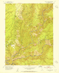
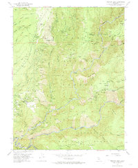
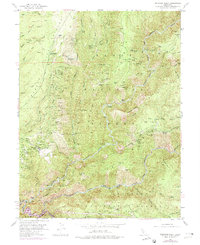
Editions of this 1952 Michigan Bluff Map
7 editions found
Other maps of this area

1891 · Colfax
USGS Topo · 1:125,000

1891 · Placerville
USGS Topo · 1:125,000

1892 · Placerville
USGS Topo · 1:125,000

1892 · Colfax
USGS Topo · 1:125,000

1893 · Placerville
USGS Topo · 1:125,000

1894 · Colfax
USGS Topo · 1:125,000

1898 · Colfax
USGS Topo · 1:125,000

1900 · Colfax
USGS Topo · 1:125,000

1902 · Colfax
USGS Topo · 1:125,000

1938 · Colfax
USGS Topo · 1:125,000