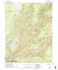
1952 Map of Michigan Bluff
USGS Topo · Published 1995About this map
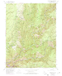
Michigan Bluff sits high above the deep canyons of the Sierra Nevada, overlooking an intense network of hydraulic and hard-rock gold mining operations. The mid-century landscape is defined by its industrial history, with dozens of active and inactive claims such as the Mountain Chief Mine, Golden Gate Mine, and Hidden Treasure Mine lining the steep ridges. The terrain is marked by significant topographical features like Chicken Hawk Ridge and Volcano Ridge, which drop sharply toward the Middle Fork American River and the North Fork American River.
Find a feature on this map
124 named features on this map. Tap any name to fly to it.
Don’t see what you’re looking for? This feature index may not catch every label — zoom into the map to look around manually.
Map Details
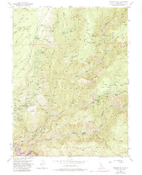
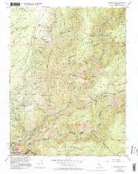
Editions of this 1952 Michigan Bluff Map
7 editions found
Other maps of this area

1891 · Colfax
USGS Topo · 1:125,000

1891 · Placerville
USGS Topo · 1:125,000

1892 · Placerville
USGS Topo · 1:125,000

1892 · Colfax
USGS Topo · 1:125,000

1893 · Placerville
USGS Topo · 1:125,000

1894 · Colfax
USGS Topo · 1:125,000

1898 · Colfax
USGS Topo · 1:125,000

1900 · Colfax
USGS Topo · 1:125,000

1902 · Colfax
USGS Topo · 1:125,000

1938 · Colfax
USGS Topo · 1:125,000