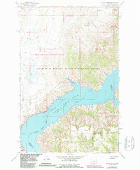
1965 Map of Mickey Butte
USGS Topo · Published 1987About this map
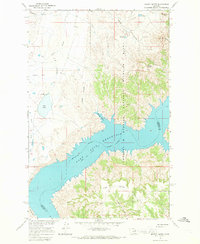
Fort Peck Lake dominates the southern half of this landscape, where the wide waters of the Missouri River are held at a normal pool elevation of 2248 feet. This mid-1960s survey illustrates a rugged Montana breaks environment defined by the convergence of the Charles M Russell National Wildlife Refuge and the U L Bend National Wildlife Refuge. The terrain is characterized by deep coulees and high flatlands, such as Hawley Flat, which drop sharply toward the reservoir. Landmarks like Mickey Butte and Brandon Butte rise above a network of drainage systems including Mickey Coulee and Mickus Coulee. The map also delineates the U L Bend Wilderness area, showing the preservation of the river bottomlands and the Tripp Divide before the advent of major modern development in this part of Phillips and Garfield Counties.
Find a feature on this map
25 named features on this map. Tap any name to fly to it.
Don’t see what you’re looking for? This feature index may not catch every label — zoom into the map to look around manually.
Map Details
Editions of this 1965 Mickey Butte Map
2 editions found
Other maps of this area

1954 · Jordan
USGS Topo · 1:250,000

1956 · Jordan
USGS Topo · 1:250,000

1958 · Jordan
USGS Topo · 1:250,000

1964 · Jordan
USGS Topo · 1:250,000

1965 · Germaine Coulee East
USGS Topo · 1:24,000

1965 · Germaine Coulee West
USGS Topo · 1:24,000

1965 · Lost Creek
USGS Topo · 1:24,000

1965 · Herman Point
USGS Topo · 1:24,000

1965 · Locke Ranch
USGS Topo · 1:24,000

1965 · Cap Rock Butte
USGS Topo · 1:24,000