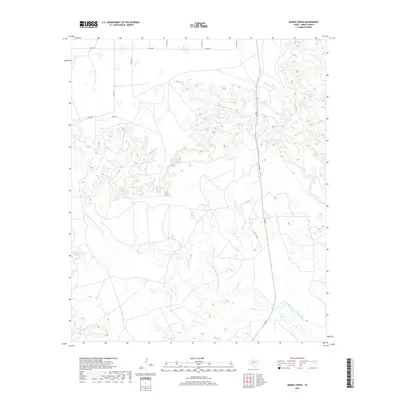
2019 Map of Middle Creek
USGS Topo · Published 2019About this map
The Double Mountain Fork Brazos River winds through the southeastern corner of this landscape in Garza County, where the plains meet the erosional breaks of the Llano Estacado. This 2019 survey illustrates a predominantly rural and ranching geography, dominated by the drainage systems of Middle Cr and Salt Cr. The network of section-line roads, such as Co Rd 290 and Co Rd 145, reveals the systematic land division of the Texas Panhandle, while named routes like Macy Rd and the U Lazy S Rch Rd hint at established local ranching operations. Modern transportation is represented by FM 669, which serves as the primary north-south artery through the eastern portion of the quadrangle. The topography is defined by the transition from flat upland mesas into the intricate canyon systems carved by the river's tributaries.
Find a feature on this map
13 named features on this map. Tap any name to fly to it.
Don’t see what you’re looking for? This feature index may not catch every label — zoom into the map to look around manually.
Map Details
Editions of this 2019 Middle Creek Map
This is the sole edition of this map. No revisions or reprints were ever made.
Other maps of this area

1954 · Lubbock
USGS Topo · 1:250,000

1954 · Big Spring
USGS Topo · 1:250,000

1958 · Big Spring
USGS Topo · 1:250,000

1969 · Gail NE
USGS Topo · 1:24,000

1969 · Beal Hollow
USGS Topo · 1:24,000

1969 · Indian Canyon NE
USGS Topo · 1:24,000

1969 · Post East
USGS Topo · 1:24,000

1969 · Grassland SE
USGS Topo · 1:24,000

1969 · Post West
USGS Topo · 1:24,000

1969 · Cooper Creek
USGS Topo · 1:24,000