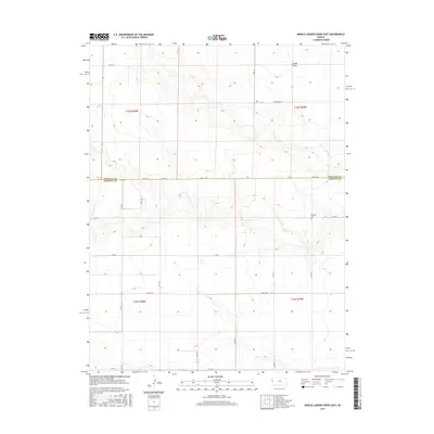
2015 Map of Middle Ladder Creek East
USGS Topo · Published 2015About this map
South Flats dominates the northern reaches of this High Plains landscape, where the plateau begins to break into the drainage of the Middle Ladder Creek system. This 2015 survey illustrates a highly structured agricultural grid established along the Wallace Co and Greeley Co border. While the topography shows the subtle draws and elevations of the Western Kansas prairie, the human imprint is defined by a rigorous network of section roads like Dusty Rd and Co Rd A. The presence of the Bethany Cem near Wa E-A Rd provides a vital anchor for genealogists and local historians, marking a persistent site of community heritage in a region characterized by large landholdings and sparse residential settlement. The map captures the meticulous Public Land Survey System (PLSS) divisions between t15s r40w and t15s r39w, showing how property and transport lines have been dictated by the township and range system.
Find a feature on this map
23 named features on this map. Tap any name to fly to it.
Don’t see what you’re looking for? This feature index may not catch every label — zoom into the map to look around manually.
Map Details
Editions of this 2015 Middle Ladder Creek East Map
This is the sole edition of this map. No revisions or reprints were ever made.
Other maps of this area

1955 · Scott City
USGS Topo · 1:250,000

1958 · Scott City
USGS Topo · 1:250,000

1959 · Weskan
USGS Topo · 1:62,500

1959 · Wallace
USGS Topo · 1:62,500

1968 · Sharon Springs 3 NE
USGS Topo · 1:24,000

1968 · Sharon Springs 4 NW
USGS Topo · 1:24,000

1968 · Sharon Springs 4 NE
USGS Topo · 1:24,000

1970 · Sharon Springs 4 SE
USGS Topo · 1:24,000

1970 · Sharon Springs 3 SE
USGS Topo · 1:24,000

1970 · Sharon Springs 4 SW
USGS Topo · 1:24,000
Featured Places
- Tribune Township, KS
- Harrison Township, KS
- Sharon Springs Township, KS
- Wallace County, KS
- Greeley County, KS