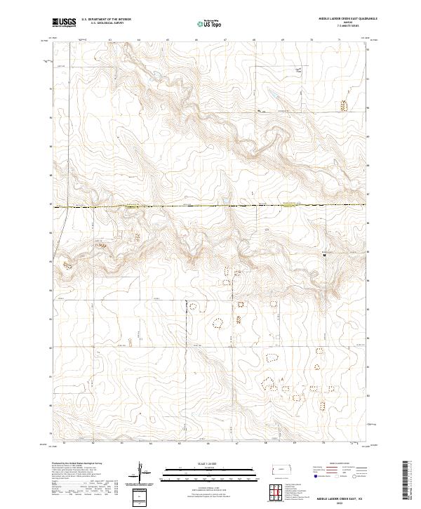
2022 Map of Middle Ladder Creek East
USGS Topo · Published 2022About this map
The border of Wallace and Greeley County bisects this Kansas landscape, where the high plains terrain is defined by the broad plateau of the South Flats. Settlement in this region is sparse, characterized by a grid of rural routes including Dusty Rd and Crosswind Rd that connect isolated agricultural sites. One of the few markers of early community life is the Bethany Cem, which sits along Co Rd B in the eastern half of the map. The drainage patterns of the Ladder Creek watershed have carved subtle relief into the plains, creating a series of draws and ridges that contrast with the flat agricultural sections above. Modern rural development is visible in small clusters like Dairy Cir, reflecting the continued importance of ranching and farming in this corner of western Kansas.
Find a feature on this map
24 named features on this map. Tap any name to fly to it.
Don’t see what you’re looking for? This feature index may not catch every label — zoom into the map to look around manually.
Map Details
Editions of this 2022 Middle Ladder Creek East Map
This is the sole edition of this map. No revisions or reprints were ever made.
Other maps of this area

1955 · Scott City
USGS Topo · 1:250,000

1958 · Scott City
USGS Topo · 1:250,000

1959 · Weskan
USGS Topo · 1:62,500

1959 · Wallace
USGS Topo · 1:62,500

1968 · Sharon Springs 3 NE
USGS Topo · 1:24,000

1968 · Sharon Springs 4 NW
USGS Topo · 1:24,000

1968 · Sharon Springs 4 NE
USGS Topo · 1:24,000

1970 · Sharon Springs 4 SE
USGS Topo · 1:24,000

1970 · Sharon Springs 3 SE
USGS Topo · 1:24,000

1970 · Sharon Springs 4 SW
USGS Topo · 1:24,000
Featured Places
- Harrison Township, KS
- Sharon Springs Township, KS
- Tribune Township, KS
- Greeley County, KS
- Wallace County, KS