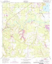
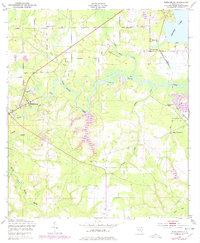
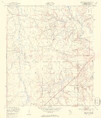
1949 Map of Middleburg
USGS Topo · Published 1987About this map
Middleburg sits at the convergence of the North Fork Black Creek and South Fork Black Creek in this mid-century topographic survey. The landscape is defined by the winding network of Black Creek and its many tributaries, such as Little Black Creek and Bradley Creek, which eventually lead toward Doctors Lake in the northeast. This era of Clay County history shows a mix of rural community life and early industrial activity, including the presence of an Oil Well and the Kilns (Abandoned) located near Doctors Inlet.
Find a feature on this map
23 named features on this map. Tap any name to fly to it.
Don’t see what you’re looking for? This feature index may not catch every label — zoom into the map to look around manually.
Map Details
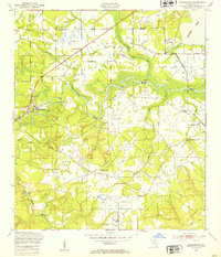
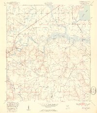
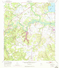
Editions of this 1949 Middleburg Map
5 editions found
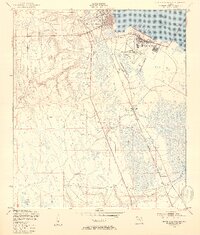
Other maps of this area

1917 · Orange Park
USGS Topo · 1:62,500

1918 · Middleburg
USGS Topo · 1:62,500

1918 · Orange Park
USGS Topo · 1:62,500

1941 · Middleburg
USGS Topo · 1:62,500

1942 · Ates Creek
USGS Topo · 1:62,500

1947 · Bostwick
USGS Topo · 1:50,000

1948 · Jacksonville
USGS Topo · 1:250,000
1949 · Middleburg SW
USGS Topo · 1:24,000
1949 · Green Cove Springs
USGS Topo · 1:24,000

1949 · Fiftone
USGS Topo · 1:24,000