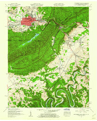
1959 Map of Middlesboro South
USGS Topo · Published 1960About this map
Cumberland Gap National Historical Park anchors this 1959 survey at the intersection of Kentucky, Tennessee, and Virginia. The city of Middlesboro dominates the northern valley, its grid expanding along Cumberland Ave and Winchester Ave near the Municipal Airport. The historic Old Wilderness Road traces a path through the iconic Cumberland Gap pass, flanked by landmarks like The Pinnacle and Cudjo Cave.
Find a feature on this map
95 named features on this map. Tap any name to fly to it.
Don’t see what you’re looking for? This feature index may not catch every label — zoom into the map to look around manually.
Map Details
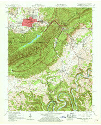
Editions of this 1959 Middlesboro South Map
2 editions found
Other maps of this area

1886 · Cumberland Gap
USGS Topo · 1:125,000

1888 · Cumberland Gap
USGS Topo · 1:125,000

1891 · Cumberland Gap
USGS Topo · 1:125,000

1897 · Maynardville
USGS Topo · 1:125,000

1900 · Maynardville
USGS Topo · 1:125,000

1903 · Middlesboro
USGS Topo · 1:48,000

1927 · Middlesboro
USGS Topo · 1:62,500

1930 · Middlesboro
USGS Topo · 1:62,500

1935 · Varilla
USGS Topo · 1:24,000

1935 · Mingo Mountains
USGS Topo · 1:24,000