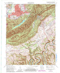
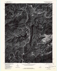
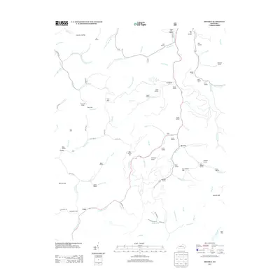
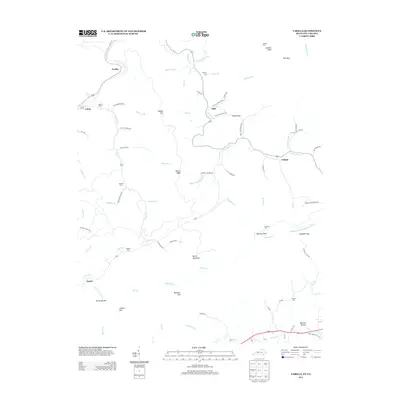
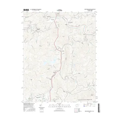
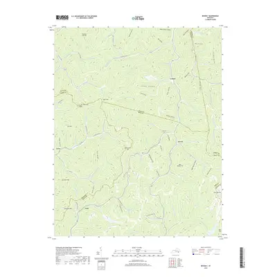
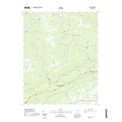
1974 Map of Middlesboro South
USGS Topo · Published 1992About this map
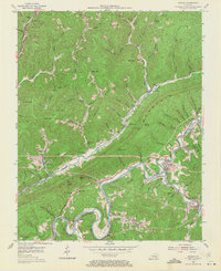
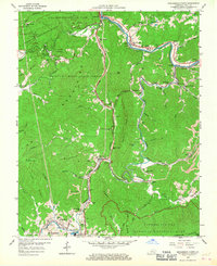
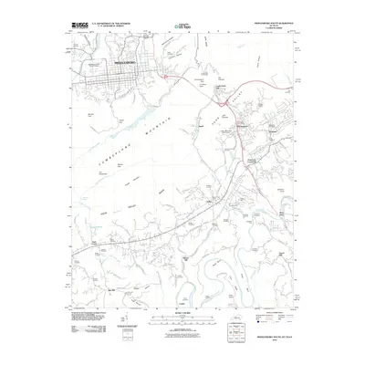
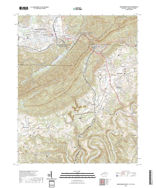
Middlesboro anchors the northern portion of this survey, situated in a unique basin where Yellow Creek flows toward the gaps in Cumberland Mountain. The map illustrates the convergence of Kentucky, Tennessee, and Virginia at Tri-State Peak, a focal point within the Cumberland Gap National Historical Park. The historical importance of the Wilderness Road is evident as it winds through the pass toward Cumberland Gap and Harrogate, providing a transit corridor used for generations.
Find a feature on this map
61 named features on this map. Tap any name to fly to it.
Don’t see what you’re looking for? This feature index may not catch every label — zoom into the map to look around manually.
Map Details
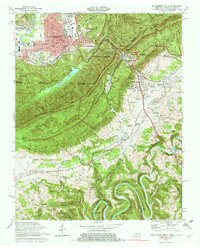
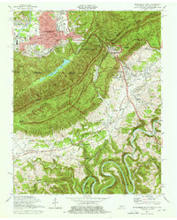
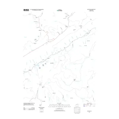
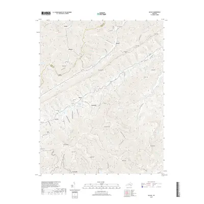
Editions of this 1974 Middlesboro South Map
3 editions found
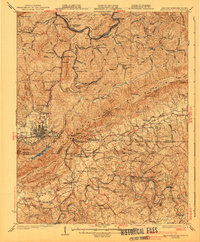
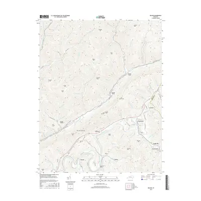
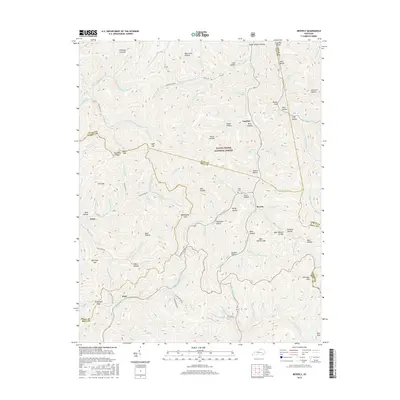
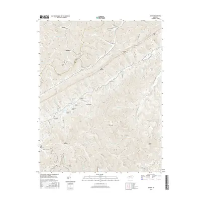
Historical Maps of Middlesboro Through Time
49 maps found

1903 Middlesboro
Bell County, KY

1927 Middlesboro
Bell County, KY
1930 Middlesboro
Bell County, KY

1935 Varilla
Bell County, KY

1952 Davisburg
Bell County, KY
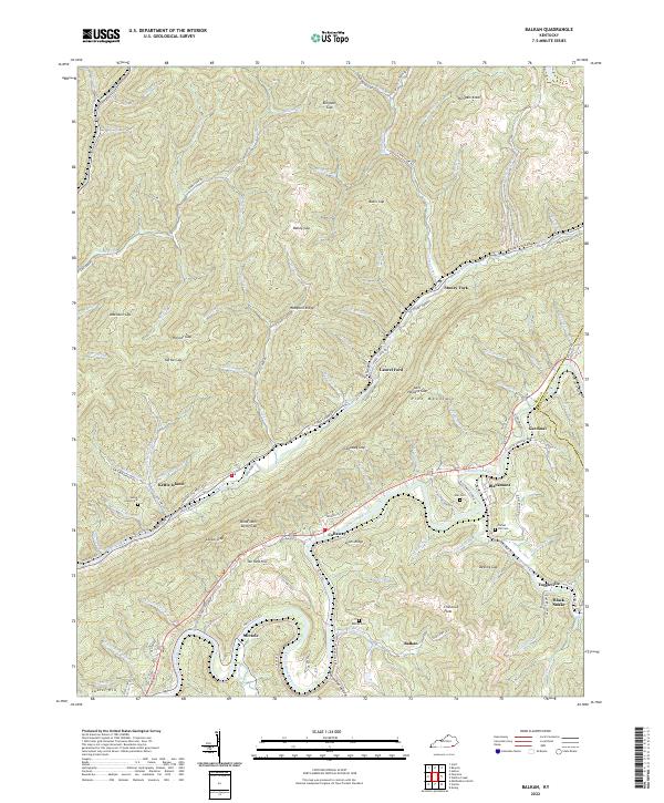
1954 Balkan
Bell County, KY
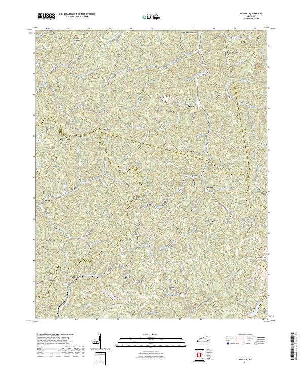
1954 Beverly
Bell County, KY

1954 Middlesboro North
Bell County, KY
1954 Varilla
Bell County, KY
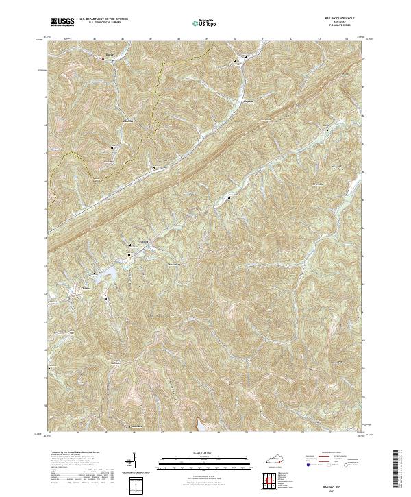
1959 Kayjay
Bell County, KY
1959 Middlesboro North
Bell County, KY
1974 Balkan
Bell County, KY
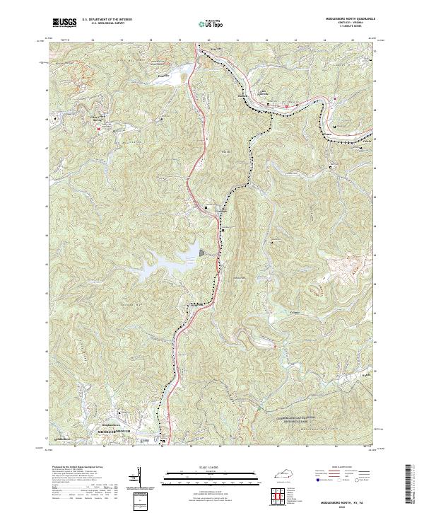
1974 Middlesboro North
Bell County, KY
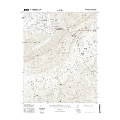
1974 Middlesboro South
Bell County, KY
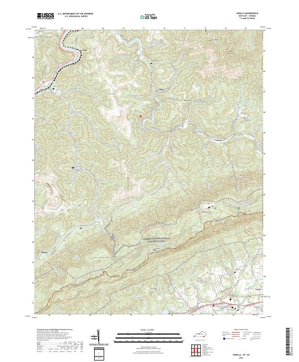
1974 Varilla
Bell County, KY
1976 Middlesboro North
Bell County, KY

1976 Middlesboro South
Bell County, KY

1976 Varilla
Bell County, KY

1979 Beverly
Bell County, KY
2010 Balkan
Bell County, KY
2010 Kayjay
Bell County, KY
2010 Middlesboro North
Bell County, KY
2010 Middlesboro South
Bell County, KY
2011 Beverly
Bell County, KY
2011 Varilla
Bell County, KY
2013 Balkan
Bell County, KY
2013 Beverly
Bell County, KY
2013 Kayjay
Bell County, KY
2013 Middlesboro North
Bell County, KY
2013 Middlesboro South
Bell County, KY
2013 Varilla
Bell County, KY
2016 Balkan
Bell County, KY
2016 Beverly
Bell County, KY
2016 Kayjay
Bell County, KY
2016 Middlesboro North
Bell County, KY
2016 Middlesboro South
Bell County, KY
2016 Varilla
Bell County, KY
2019 Balkan
Bell County, KY
2019 Beverly
Bell County, KY
2019 Kayjay
Bell County, KY
2019 Middlesboro North
Bell County, KY
2019 Middlesboro South
Bell County, KY
2019 Varilla
Bell County, KY
2022 Balkan
Bell County, KY
2022 Beverly
Bell County, KY
2022 Kayjay
Bell County, KY
2022 Middlesboro North
Bell County, KY
2022 Middlesboro South
Bell County, KY
2022 Varilla
Bell County, KY