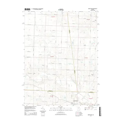
2014 Map of Middletown
USGS Topo · Published 2014About this map
Middletown serves as a focal point at the junction of Montgomery, Pike, and Audrain counties, representing the agricultural heart of east-central Missouri. The terrain is defined by the winding course of the W Fork Cuivre River, which cuts through the southern half of the map, and the numerous smaller waterways like Sandy Cr and Haw Cr that feed into it. Local history and genealogy are preserved in rural markers such as Fairmount Cemetery near the town center and the Rudd School Cemetery to the east.
Find a feature on this map
88 named features on this map. Tap any name to fly to it.
Don’t see what you’re looking for? This feature index may not catch every label — zoom into the map to look around manually.
Map Details
Editions of this 2014 Middletown Map
This is the sole edition of this map. No revisions or reprints were ever made.
Other maps of this area

1890 · Louisiana
USGS Topo · 1:125,000

1890 · Mexico
USGS Topo · 1:125,000

1942 · Wellsville
USGS Topo · 1:62,500

1942 · Bellflower
USGS Topo · 1:62,500

1943 · Vandalia
USGS Topo · 1:62,500

1945 · Bellflower
USGS Topo · 1:62,500

1945 · Perry
USGS Topo · 1:62,500

1945 · Vandalia
USGS Topo · 1:62,500

1948 · Quincy
USGS Topo · 1:250,000

1956 · Quincy
USGS Topo · 1:250,000