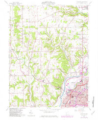
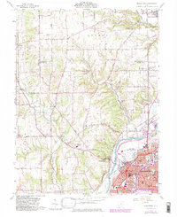
1959 Map of Middletown
USGS Topo · Published 1982About this map
The Great Miami River and the Baltimore and Ohio Railroad anchor the industrial and residential growth of Middletown as it appeared in the late 1950s. The dense urban grid of the city's south side, including neighborhoods like Oakland and Upper Arlington, contrasts with the agricultural expanses of Madison and German townships. Traces of earlier infrastructure and cultural landmarks are visible throughout, from the Hydraulic Canal to the Indian Mound south of Jacksonburg. Educational and civic life is well-documented through numerous named schools such as McKinley High Sch, Taft Sch, and Madison High Sch. In the outskirts, small settlements like Germantown and Miltonville maintain their distinct identities, while the Hook Field Municipal Airport marks the era's mid-century expansion. This survey effectively captures the transition from the river-and-rail economy to modern suburban development.
Find a feature on this map
54 named features on this map. Tap any name to fly to it.
Don’t see what you’re looking for? This feature index may not catch every label — zoom into the map to look around manually.
Map Details
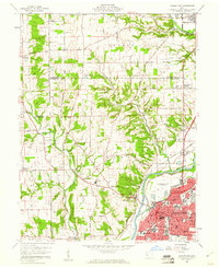
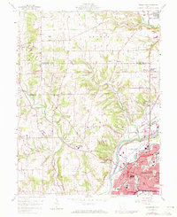
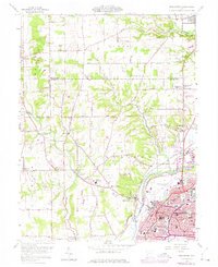
Editions of this 1959 Middletown Map
5 editions found
Other maps of this area

1904 · Mason
USGS Topo · 1:62,500

1906 · Mason
USGS Topo · 1:62,500

1908 · Miamisburg
USGS Topo · 1:62,500

1911 · Oxford
USGS Topo · 1:62,500

1915 · Hamilton
USGS Topo · 1:62,500

1917 · Hamilton
USGS Topo · 1:62,500

1951 · Franklin
USGS Topo · 1:24,000

1953 · Cincinnati
USGS Topo · 1:250,000

1955 · Monroe
USGS Topo · 1:24,000

1955 · Miamisburg
USGS Topo · 1:24,000